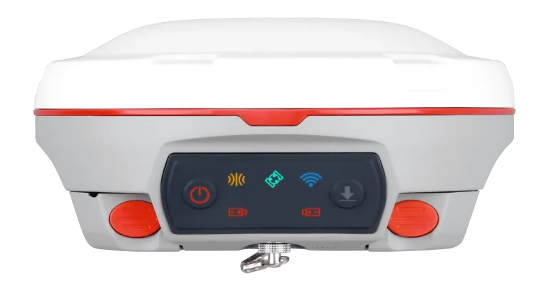
T300 Plus
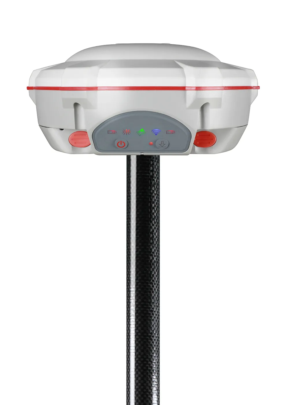
The T300 Plus is a cutting-edge GNSS receiver that combines full-constellation tracking, advanced IMU tilt compensation (up to 120°), and seamless connectivity — delivering centimeter-level accuracy in even the toughest surveying conditions.

Introduction
Experience Unmatched Positioning with Our GNSS Receiver
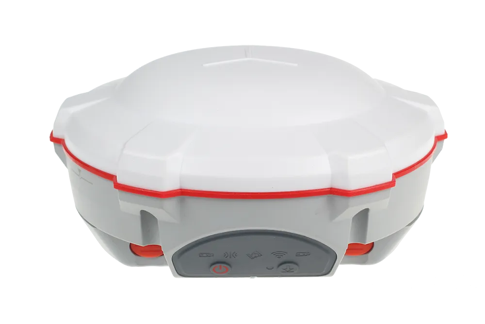
The T300 Plus, weighing just 0.95 kg (including batteries), reduces operator fatigue while offering full-constellation tracking, advanced tilt compensation up to 120°, and integrated 4G, WiFi, and UHF — enabling high-precision GNSS surveying with ease.
Innovative
Explore the Technical Specifications of GNSS Receiver
Characteristics:
- wireless, GNSS, GPS, GLONASS, GALILEO, UHF, RTK, satellite, Bluetooth, multi-constellation, multi-frequency
- compact, rugged, multi-channel, with built-in antenna, portable, multi-frequency, multi-constellation, low-power, low-latency, wideband
Communications's performance
GPS L1/L2/L5, BeiDou B1/B2/B3/B1C/B2a/B2b, GLONASS L1/L2/L3, Galileo E1/E5a/E5b/E6/E5 AltBOC, QZSS L1/L2/L5, Navic L5, SBAS Advanced Generation III QUANTUM™ Technology
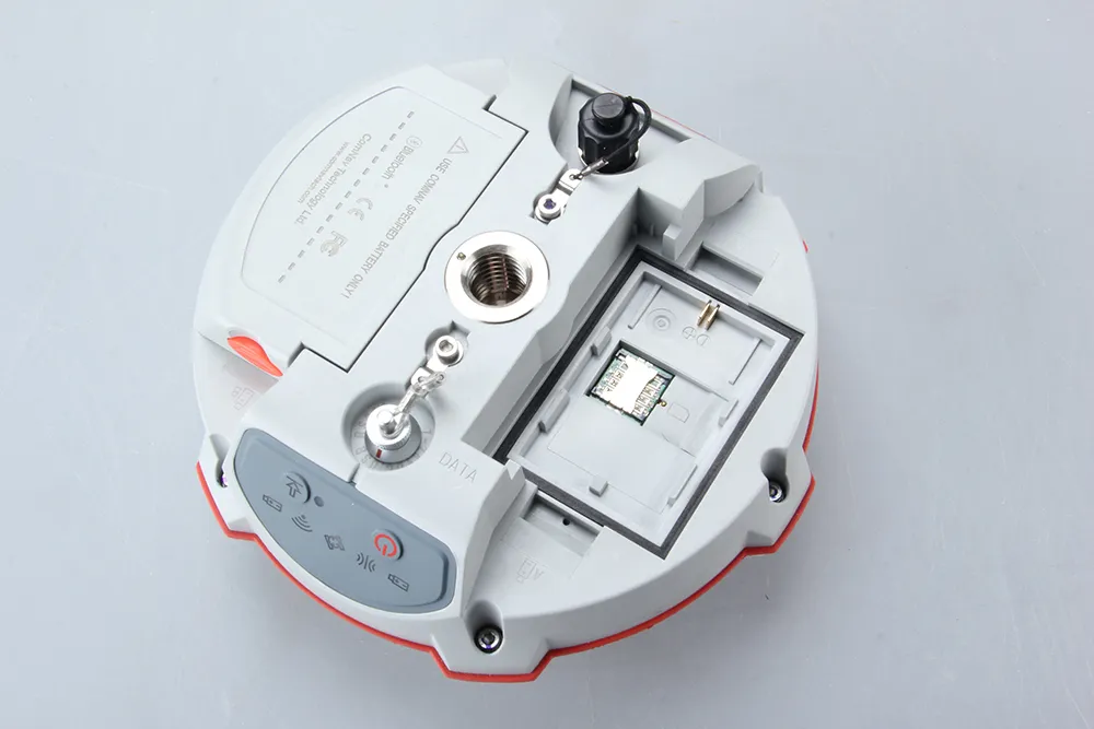
Module WIFI/UHF/4G
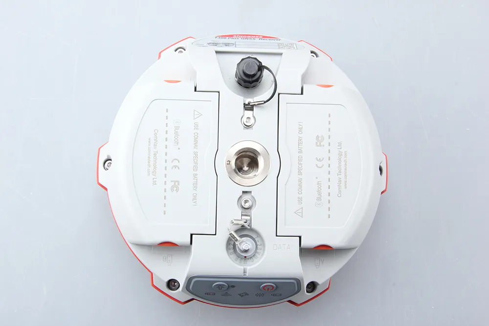
Intelligent Battery Design
Reduced energy consumption
Easy Workflow Full constellation tracking
The T300 Plus tracks 965 channels with all GNSS constellations in service and planned, including GPS, BDS, GLONASS, Galileo, QZSS, Navic and SBAS
Inclination sensor
Tilt compensation
The T300 Plus supports up to 60° tilt compensation, allowing you to collect high-precision data faster in the field Intuitive workflow.
With advanced RTK technology and anti-interference algorithms, you can extend the range and achieve reliable positioning results even in a complex environment.
965
GPS: L1C/A, L1C, L2P, L2C, L5
BDS: B1l, B2l, B3l, B1C, B2a, B2b
GLONASS: G1, G2, G3
Galileo: E1, E5a, E5b, E6c, E5 AItBOC
QZSS: L1C/A, L2C, L5, L1C
IRNSS: L5
SBAS: L1C/A
<1.5 s
<50 s
<30 s
<15 s
<10s
>99.9%
Horizontal 2.5 mm + 0.5 ppm RMS
Vertical 5 mm + 0.5 ppm RMS
Horizontal 8mm + 1ppm RMS
Vertical 15mm + 1ppm RMS
Horizontal 3 mm + 0.1 ppm
Vertical 3.5 mm + 0.4 ppm
<0.4m RMS
1 m 3D RMS
1.5m 3D RMS
15.8 cm × 7.5 cm
0.95 kg with two batteries
-40 °C to +65 °C (-40 °F to 149 °F)
-40 °C to +85 °C (-40 °F to 185 °F)
100% non-condensing
IP67, protected from temporary immersion to depth of 1 m
Survive a 2m drop onto concrete
7-28 VDC
1.92 W
2 × 2000 mAh, up to 10 hours typically
8 GB
1 Baud rates up to 921,600 bps
Tx/Rx with full frequency range from 410-470 MHz
Transmit power: 0.5-2 W adjustable
Range: 1-5 km
802.11b/g/n, 2.4Ghz
4G Bands: 800/900/1800/2100/2600 MHz
3G Bands: 900/2100 MHz
2G Bands: 900/1800 MHz
Support GSM, Point to Point/Points and NTRIP
1 Hz, 2 Hz, 5 Hz, 10 Hz, 20 Hz
5
Up to 120° tilt with 2.5 cm accuracy
V 4.0 protocol, compatible with Windows OS and Android OS
RTCM 2.x, 3.x, CMR, CMR+
ASCII: GSV, RMC, HDT, VHD, GGA, GSA, ZDA, VTG, GST; PTNL, PJK; PTNL, AVR; PTNL, GGK
ComNav Binary update to 20 Hz
Explore