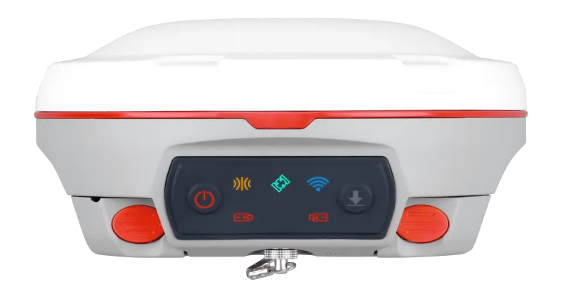
T300
Since its debut in 2013, the T300 has not only maintained its iconic design, but has also consistently evolved to stay at the forefront of GNSS technology.

Introduction
Experience Unmatched Positioning with Our GNSS Receiver
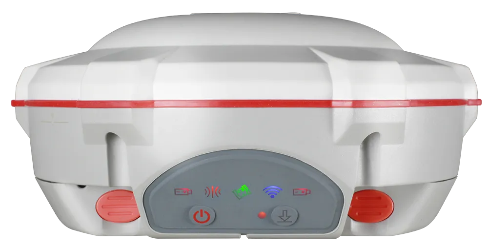
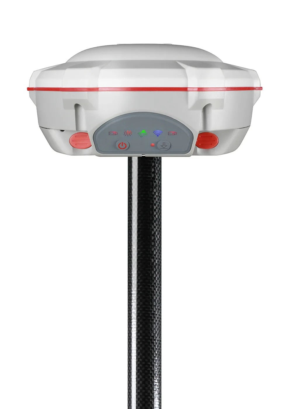
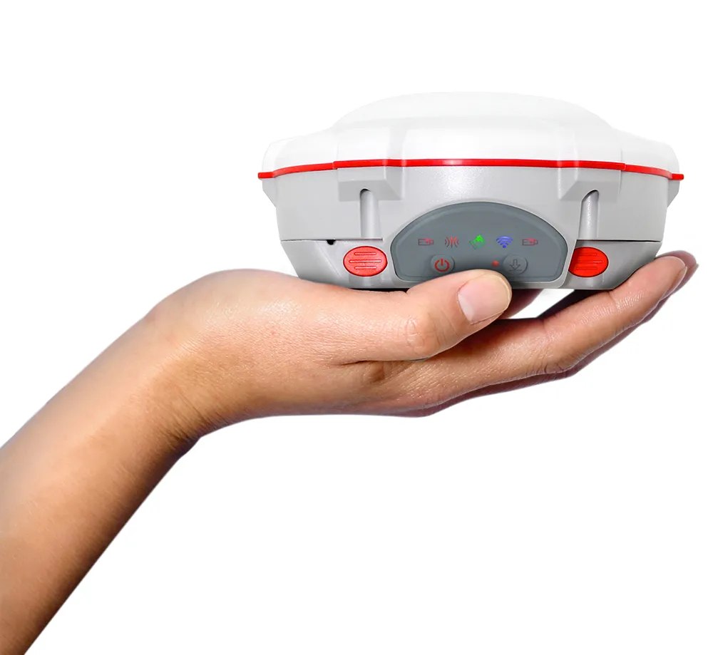
The T300 is a refined GNSS receiver that pushes precision further — blending compact design, full-constellation tracking, and built-in 4G/UHF for seamless field operation.
Innovative
Explore the Technical Specifications of GNSS Receiver
Characteristics:
- UHF, GNSS, GPS, GLONASS, GALILEO, RTK, GSM
- compact
Communication's performance
GPS L1/L2/L5, BeiDou B1/B2/B3/B1C/B2a/B2b, GLONASS L1/L2/L3, Galileo E1/E5a/E5b/E6/AltBOC, QZSS L1/L2/L5, Navic L5, SBAS Conception compacte
Powerfull batteries
Hot-swappable battery Built-in 4G/UHF user-friendly interface.
Full constellation tracking
The T300 tracks 965 channels with all GNSS constellations in service and planned, including GPS, BDS, GLONASS, Galileo, QZSS, Navic and SBAS Integrated 4G/TX & RX.
The built-in GPRS/GSM/4G modem ensures that the T300 works perfectly with all types of CORS, and the internal UHF from 0 to 2 Watt allows you to work in the field more conveniently and efficiently Intuitive workflow.
Workflow
The T300 is able to provide an easier survey workflow via Survey Master, improving productivity for both beginners and professional surveyors.
965
GPS: L1C/A, L2C, L2P, L5
BeiDou:B1I, B2I, B3I, B1C, B2a, B2b
GLONASS:L1, L2, L3
Galileo: E1, E5a, E5b, E6, AltBOC
QZSS:L1C/A, L1C, L2C, L5
Navic: L5
SBAS: WAAS, EGNOS, MSAS, GAGAN, SDCM,BDSBAS
<1.5 s
<50 s
<30 s
<15 s
<10s
>99.9%
Horizontal 2.5 mm + 0.5 ppm RMS
Vertical 5 mm + 0.5 ppm RMS
Horizontal 8mm + 1ppm RMS
Vertical 15mm + 1ppm RMS
3 mm + 0.1 ppm Horizontal
3.5 mm + 0.4 ppm Vertical
<0.4m RMS
1 m 3D RMS
1.5m 3D RMS
15.8 cm × 7.5 cm
0.95 kg with two batteries
-40 °C to + 65 °C (-40 °F to 149 °F)
-40 °C to + 85 °C (-40 °F to 185 °F)
100% non-condensing
IP67, protected from temporary immersion to depth of 1 m
Survive a 2m drop onto the concrete
7-28 VDC
1.92 W
2 × 2000 mAh, up to 10 hours typically
8 GB
1 Baud rates up to 921,600 bps
Tx/Rx with full frequency range from 410-470 MHz
Transmit power: 0.5-2 W adjustable
Range: 1-5 km
802.11b/g/n
4G Bands: 800/900/1800/2100/2600 MHz
3G Bands: 900/2100 MHz
2G Bands: 900/1800 MHz
Support GSM, Point to Point/Points and NTRIP
1 Hz, 2 Hz, 5 Hz, 10 Hz, 20 Hz
5
V 4.0 protocol, compatible with Windows OS and Android OS
RTCM SC104 Version 2.x, 3.x formats, CMR(GPS only), CMR+(GPS only)
ASCII: NMEA-0183 GSV, RMC, HDT, VHD, GGA, GSA, ZDA, VTG, GST; PTNL, PJK; PTNL, AVR; PTNL, GGK
ComNav Binary update to 20 Hz
Explore