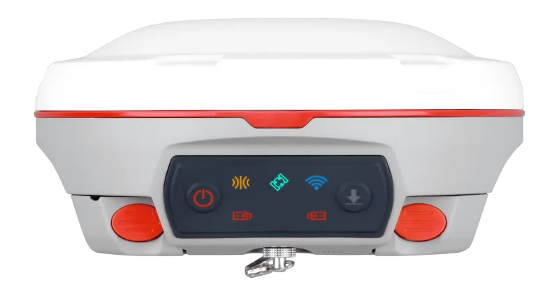
T30 IMU
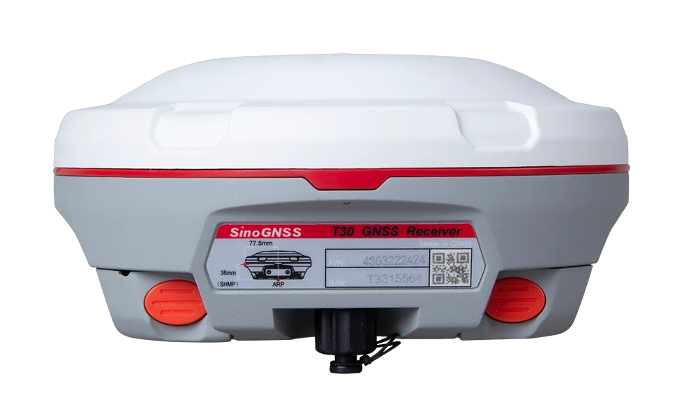
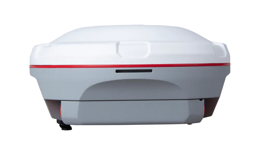
The T30 IMU GNSS Receiver brings survey-grade accuracy into your hands — combining full-constellation tracking, built-in IMU tilt support to 120°, and seamless 4G/WiFi/Bluetooth connectivity to simplify every workflow.

Introduction
Redefine Efficiency with the T30 IMU GNSS Receiver
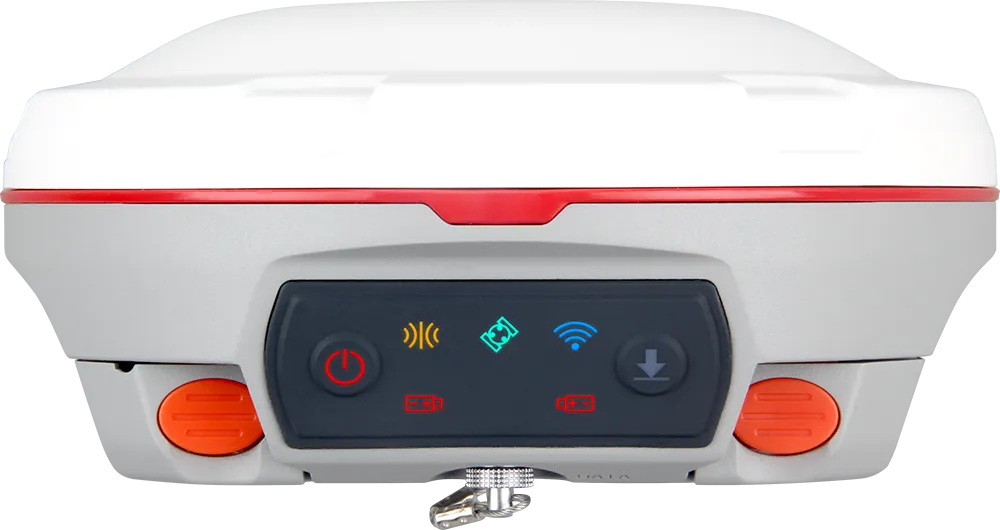
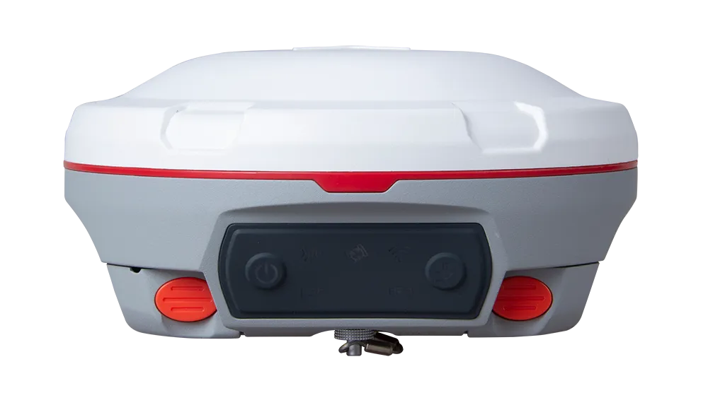
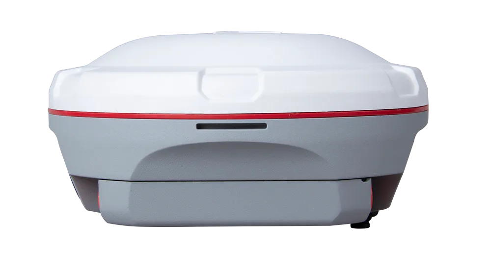
The T30 is a compact and powerful GNSS receiver designed for professional surveying. Featuring advanced IMU tilt compensation, full-constellation tracking, and seamless 4G connectivity, it ensures fast, precise, and reliable data collection in any environment.
Innovative
Explore the Technical Specifications of GNSS Receiver
Characteristics:
- GNSS, GPS, GLONASS, GALILEO, UHF, RTK, wireless, multi-constellation
- Compact
- GPS L1/L2/L5, BeiDou B1/B2/B3, GLONASS L1/L2, Galileo E1/E5a/E5b/AltBOC, SBAS, QZSS, IRNSS
- BeiDou Global Signal B1C, B2a
- Module WIFI/UHF/4G
- Support for DPI and L-band
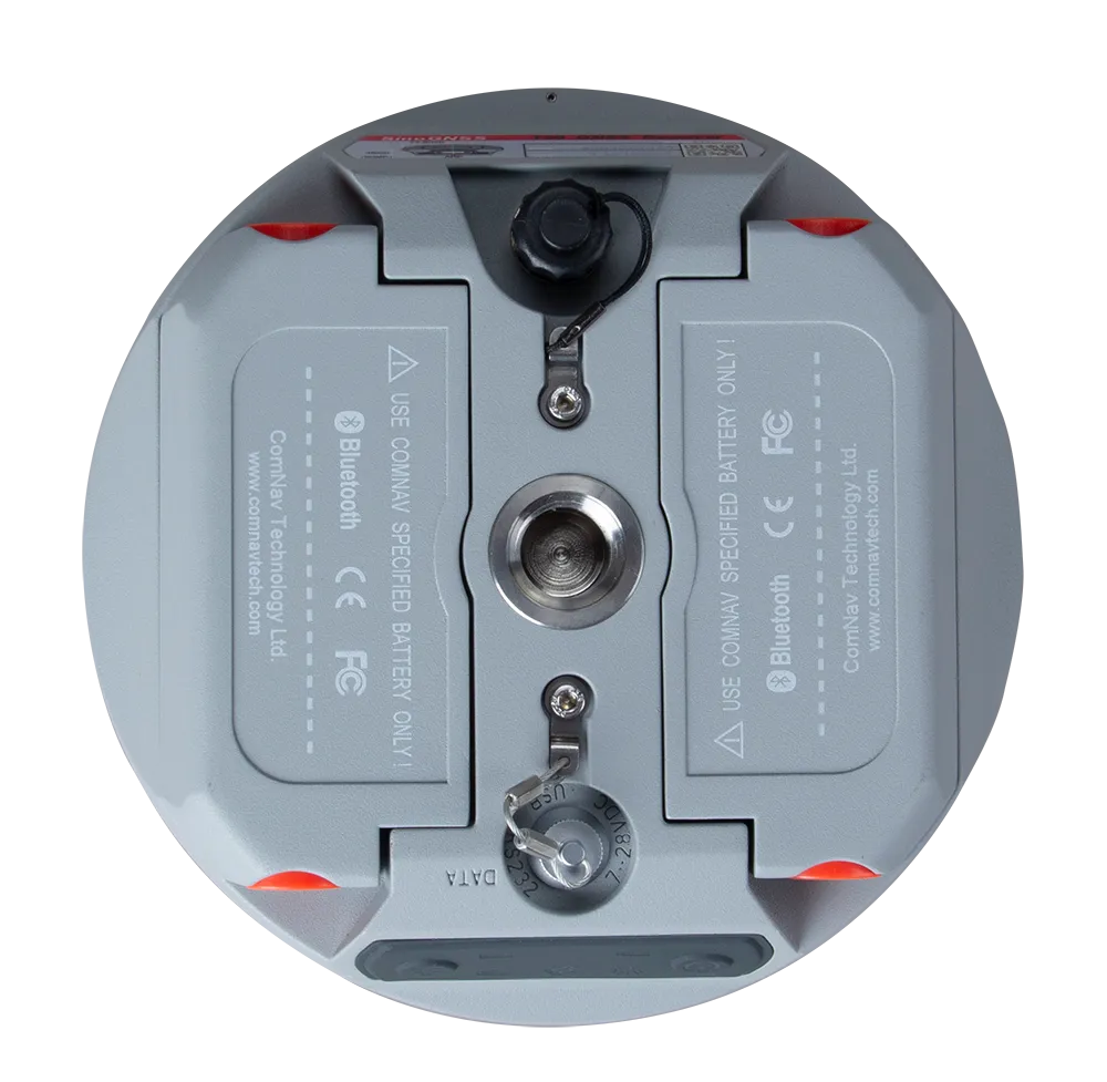
- Two removable 3400 mAh batteries
- Reduced energy consumption
IMU Performance
The built-in IMU supports tilt compensation up to 60° without calibration, ensuring high accuracy readings up to 2.5 cm. This integrated IMU system provides convenient and reliable data collection, even in complex environments.
Full Constellation Tracking
The T30 IMU receiver tracks 1198 channels for all current and future satellite signals, including GPS, GLONASS, BeiDou, BeiDou Global, Galileo, SBAS, and L-Band.
Intuitive Workflow
The T30 IMU receiver offers an intuitive and efficient workflow with the Survey Master Wizard feature, improving productivity for both beginners and professional surveyors.
1198
GPS: L1C/A, L1C, L2P, L2C, L5
BDS: B1l, B2l, B3l, B1C, B2a, B2b
GLONASS: G1, G2, G3
Galileo: E1, E5a, E5b, E6c, E5 AItBOC
QZSS: L1C/A, L2C, L5, L1C
IRNSS: L5
SBAS: L1C/A
<1.5 s
<50 s
<30 s
<15 s
<10s
>99.9%
Horizontal 2.5 mm + 0.5 ppm RMS
Vertical 5 mm + 0.5 ppm RMS
Horizontal 8mm + 1ppm RMS
Vertical 15mm + 1ppm RMS
3 mm + 0.1 ppm Horizontal
3.5 mm + 0.4 ppm Vertical
<0.4m RMS
1 m 3D RMS
1.5m 3D RMS
10cm Horizontal and 20cm Vertical
Φ 15.5 cm × 7.3 cm
1.2 kg with two batteries
-40 °C to + 65 °C (-40 °F to 149 °F)
-40 °C to + 85 °C (-40 °F to 185 °F)
100% non-condensing
IP67, protected from temporary immersion to depth of 1 m
Survive a 2m drop onto the concrete
7-28 VDC
1.92 W
2 × 3400 mAh, up to 16 hours typically
8 GB
1 Baud rates up to 921,600 bps
Tx/Rx with full frequency range from 410-470 MHz
Transmit power: 0.5-2 W adjustable
Range: 1-5 km
802.11b/g/n, 2.4Ghz
LTE-FDD: B1/B2/B3/B4/B5/B7/B8/B12/B13/B18/B19/B20/B25/B26/B28
LTE-TDD: B38/B39/B40/B41
WCDMA: B1/B2/B4/B5/B6/B8/B19
GSM: B2/B3/B5/B8
1 Hz, 2 Hz, 5 Hz, 10 Hz, 20 Hz
5
V 4.0 protocol, compatible with Windows OS and Android OS
Supports up to 120° tilt compensation
RTCM SC104 Version 2.x, 3.x formats, CMR(GPS only), CMR+(GPS only)
ASCII: NMEA-0183 GSV, RMC, HDT, VHD, GGA, GSA, ZDA, VTG, GST; PTNL, PJK; PTNL, AVR; PTNL, GGK
ComNav Binary update to 20 Hz
Explore