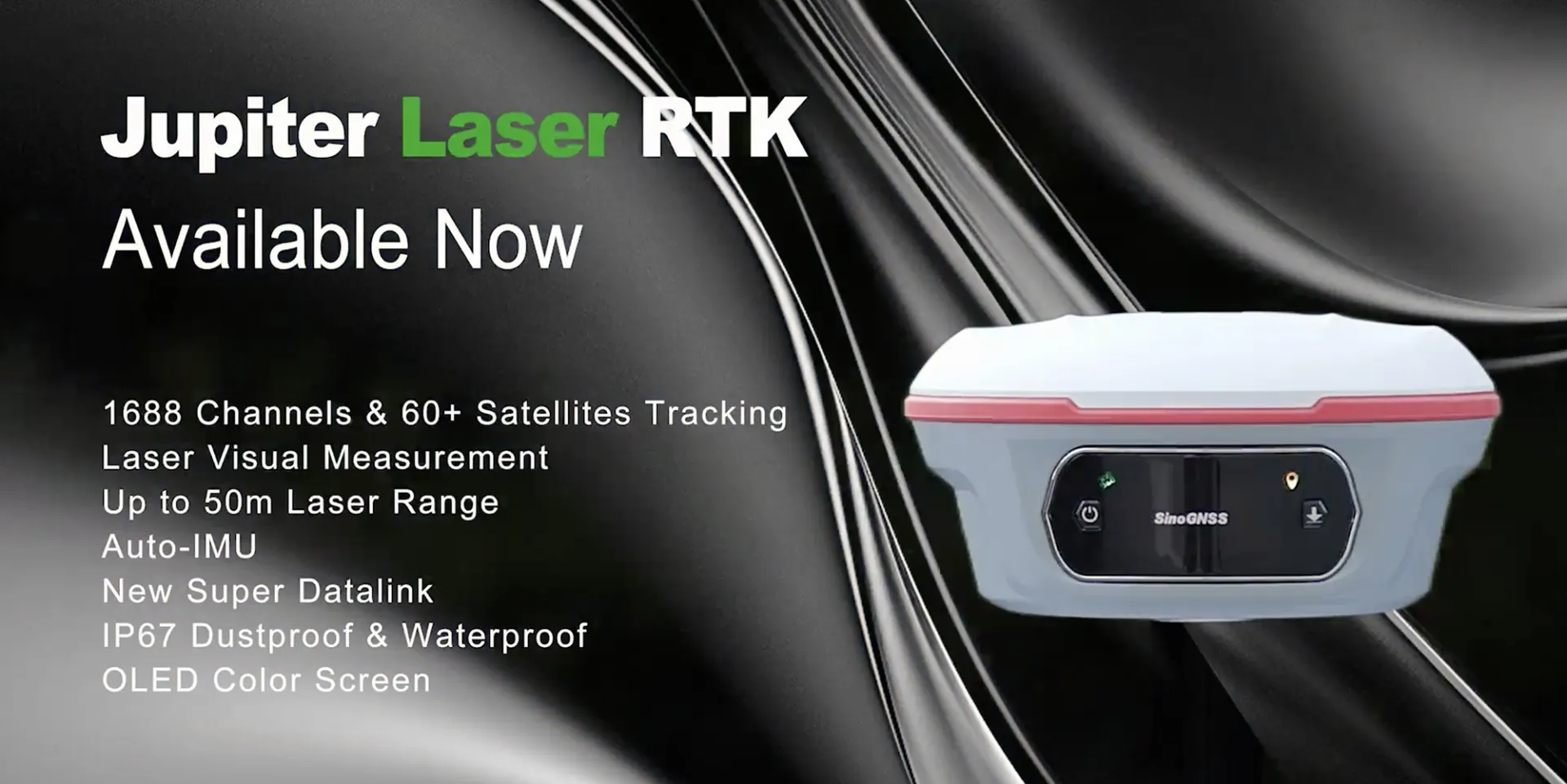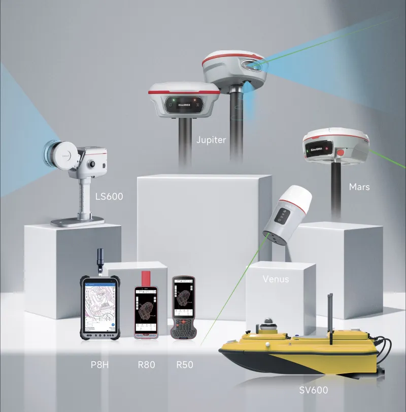
Jupiter Laser RTK GNSS Receiver

Jupiter Laser RTK GNSS Receiver

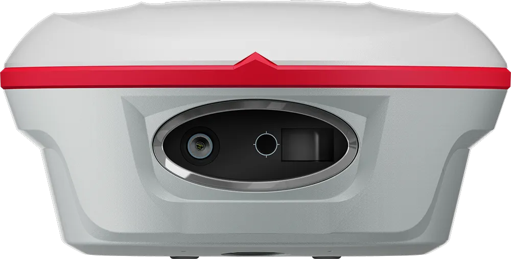
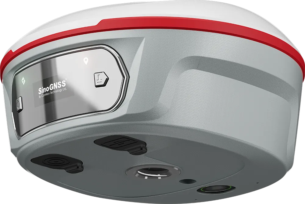
Jupiter Laser RTK is a high-end GNSS receiver that integrates cutting-edge GNSS, IMU, Laser and dual-camera technologies.

Jupiter Laser RTK GNSS Receiver

Introduction

Experience Unmatched Positioning with Our Jupiter GNSS Receiver

Building on the advanced laser technology of the Universe Series, Jupiter also incorporates SinoGNSS’s latest visual stake-out technology. This combination brings out immersive surveying and stakeout experiences, even in previously hard-to-reach, signal-blocked, or dangerous field.
Learn More Request a quote

Key innovations and performance features

Laser technology

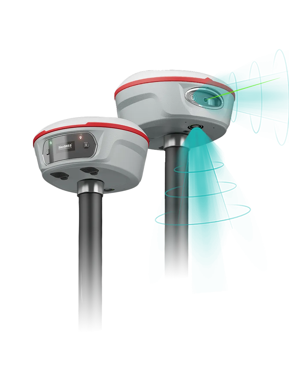
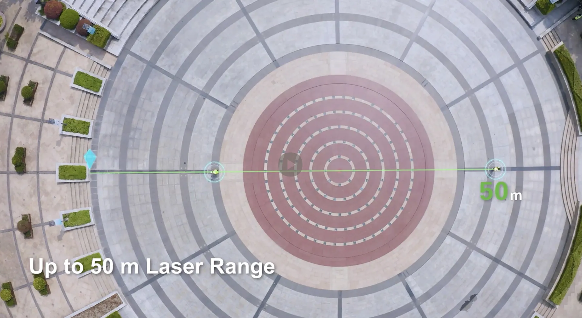
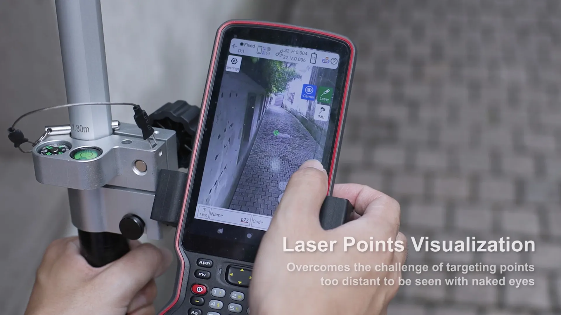
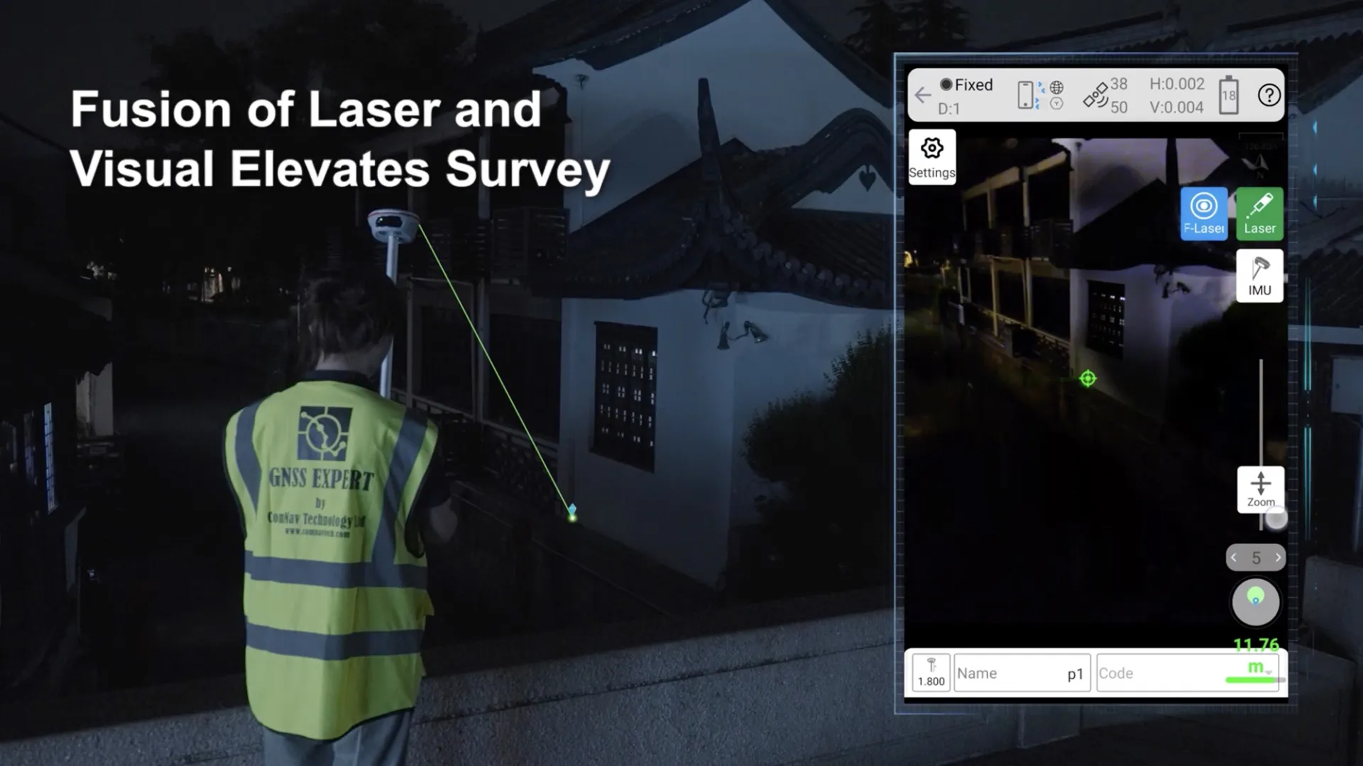
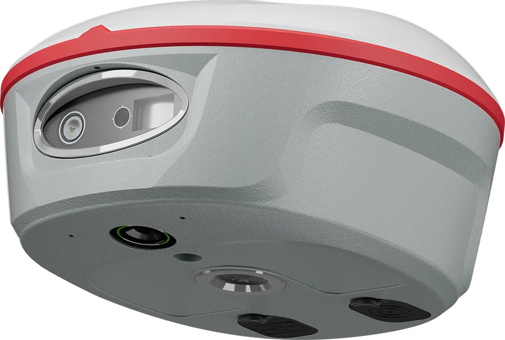
Jupiter Laser RTK’s green laser offers a 50-meter range and daylight visibility, ensuring accurate remote measurements in challenging areas like hard-to-reach, signal-blocked, or hazardous locations beyond range pole access.

Visual Stakeout

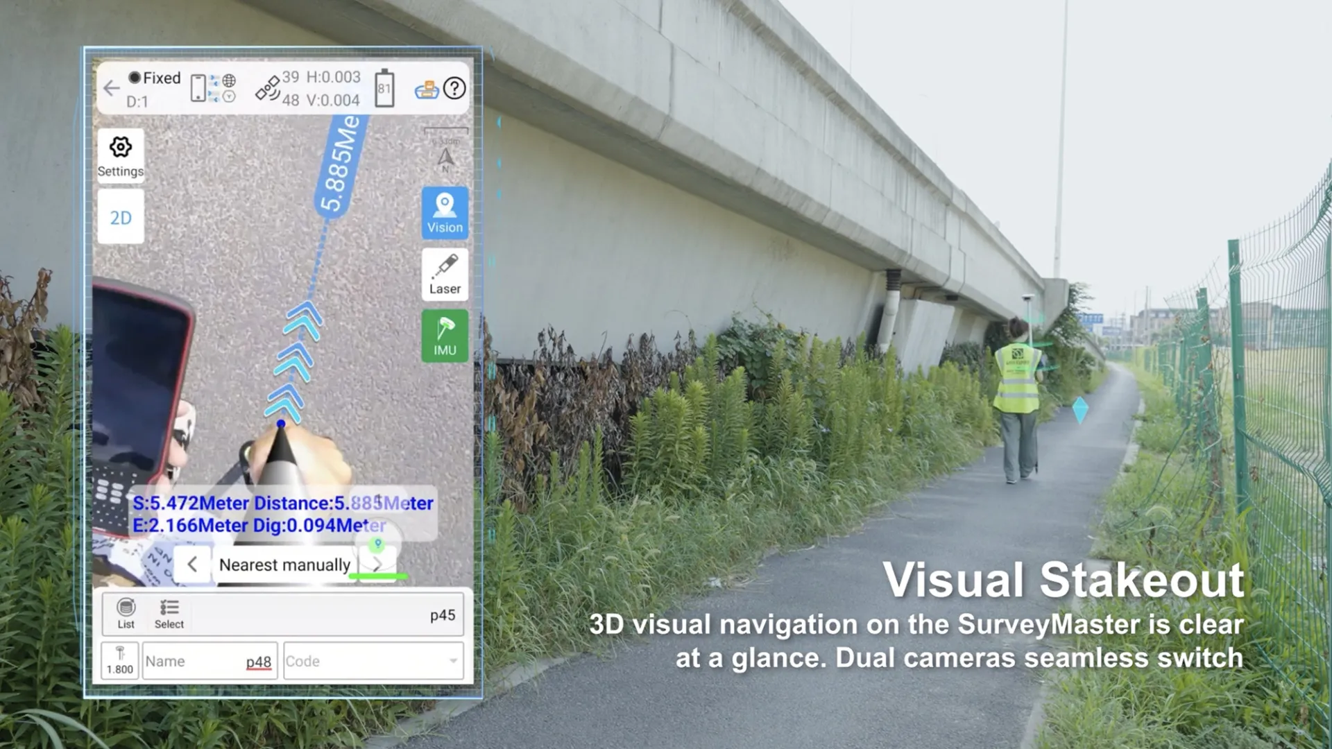
With Jupiter’s camera, surveyors gain a 3D visual view on Survey Master software. By simply following the directional arrow and real-time distance, with the stakeout point marked directly on the ground, even less experienced operators can stake out points in one go, without moving the pole back and forth
 

Super Datalink

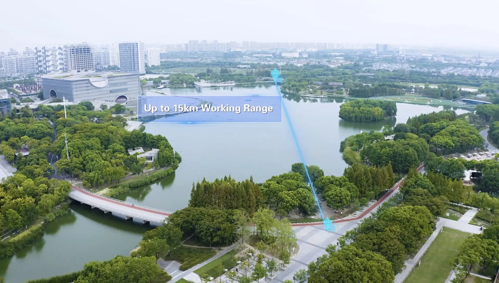
Jupiter’s compatibility has been further enhanced. The advanced datalink allows working with all types of GNSS receivers of ComNavTech and receivers of other mainstream brands, and supports a number of protocols, incl. Transparent /TT450S/South/Mac/SNLonglink. With SNLonglink, 15km working range is achievable under ideal conditions.
 

Auto-IMU

Jupiter is equipped with Auto- IMU, eliminating the need for manual initialization, supporting automatic calibration, and streamlining the operations in the field. It continues to support 120° compensation in conventional, laser and visual modes.

Full-Constellation & Multi-Frequency

With 1688 channels and 60+ satellites tracking capabilities, Jupiter can get fixed in seconds, boosting your productivity. It also support PPP (HAS & B2B) function.

OLED Color Screen

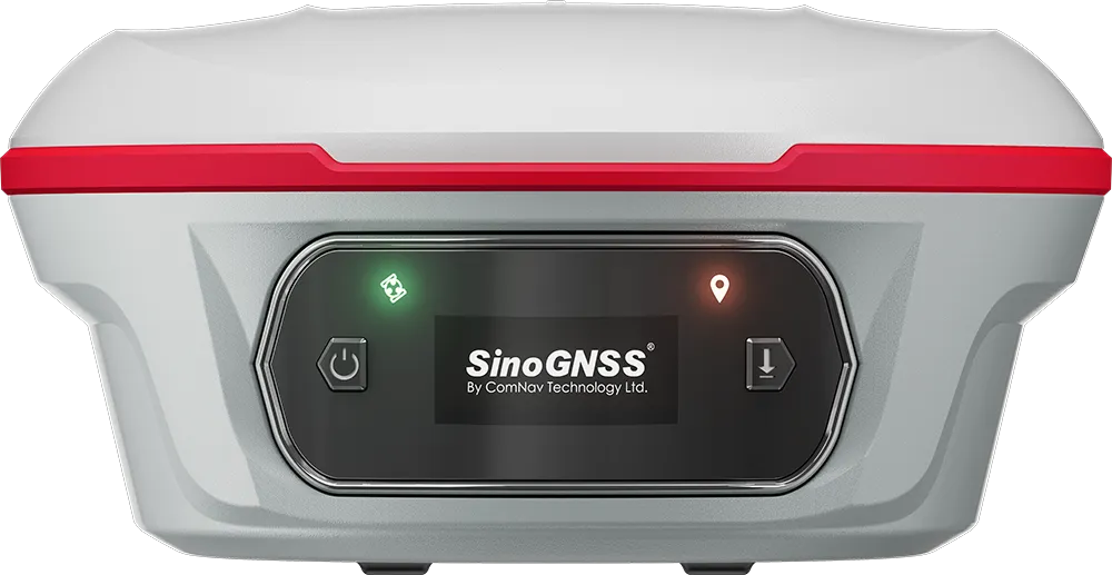
The OLED color screen visually displays the number of satellites searched, fixed state, on/off state, power and other information, which is convenient for surveyors to control.

Product parameter

Cutting edge innovative technical characteristics

Channel

1668

Satellites tracking

GPS: L1C/A, L1C, L2P, L2C, L5
BDS: B1l, B2l, B3l, B1C, B2a, B2b
GLONASS: L1, L2, L3
Galileo: E1, E5a, E5b, E6c, E5 AItBOC
QZSS: L1C/A, L2C, L5, L1C
IRNSS: L5
SBAS: L1C/A
PPP: B2b & HAS
L-Band

Signal Re-acquisition

≤1s

Cold Start

≤30s

Hot start

≤10s

RTK Initialization Time

<5s(Baseline≤10km)

Initialization Reliability

≥99.9%

Data Update Rate

1Hz, 2Hz, 5Hz, 10Hz, 20Hz

Static and Fast Static

Horizontal 2.5 mm + 0.5 ppm RMS
Vertical 5 mm + 0.5 ppm RMS

Long Observations Static

Horizontal 3.0 mm + 0.1 ppm RMS
Vertical 3.5 mm + 0.4 ppm RMS

Single Baseline RTK

Horizontal 8mm + 1ppm RMS
Vertical 15mm + 1ppm RMS

DGPS

<0.4m RMS

SBAS

Horizontal 0.5m RMS
Vertical 0.8m RMS

Standalone

1.5m 3D RMS

Laser Tilt Measurement

≤3.5cm (5m range, ≤60°Tilt in laser mode)

Housing Material

Aluminium magnesium alloy

Dimension

Φ 13.35cm x 6.6cm

Weight

810g, with internal battery

Display

1.1 inch OLED color display

Working Temperature

-40 °C~+65°C (-72°F to 117°F)

Storage Temperature

-40 °C~+85°C (-72°F to 153°F)

Humidity

100% non-condensing

Water- & Dustproof

IP67

Shock

Survive a 2m drop onto the concrete

Vibration

MIL-STD-810G Method 514.6 procedure

Voltage

7.2V

Li-ion Battery Capacity

5000mAh

Power Consumption

1.8W

Working Time

16h

Interface

Type-C

Memory

4GB

1 Serial port

Baud rates up to 921,600 bps

Datalink

Tx/Rx with full frequency range from 410-470MHz
Transmit power: 0.5W, 1W, 2W adjustable
Air Baud Rate: 9600/ 19200/ 11000 adjustable
Range: 3-15 km
Protocol type: support Transparent/TT450S/South/Mac/SNLonglink, compatible with all the ComNavTech GNSS Receivers

WIFI

802.11 a/b/g/n, 5GHz

Position data output rates

1 Hz, 2 Hz, 5 Hz, 10 Hz, 20 Hz

LEDs

2 (Indicating Satellites Tracking and RTK Corrections data)

Bluetooth

V 4.0 protocol, compatible with Windows OS and Android OS

Auto-IMU integrated for tilt survey

up to 120°tilt with 2.5 cm accuracy

Correction Data I/O

RTCM2.X, 3.X,CMR(GPSonly),CMR+(GPSonly)

Position Data Output

ASCII: NMEA-0183 GSV, RMC, HDT, GGA, GSA, ZDA, VTG, GST; PTNL, PJK; PTNL, GGK
ComNav Binary update to 20 Hz

Range

50m

Laser Safety

Class 3R

Accuracy (room temperature)

(3-5)mm + 1ppm

Measuring Frequency

Classic Value: 3Hz
Maximum Value: 5Hz

Laser Injection Power

0.9mW~1.5mW

Working Temperature

-20°C~+50°C

Storage Temperature

-30°C~+60°C