
Mars laser RTK
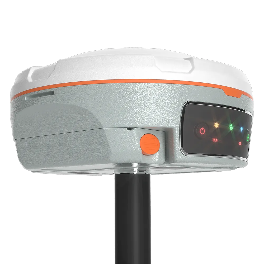
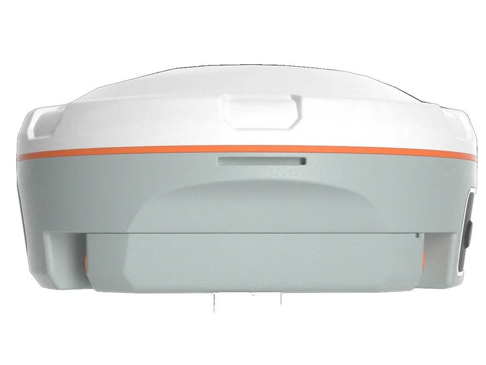
The Mars Laser RTK is an innovative GNSS receiver that incorporates the most advanced GNSS, IMU and laser technologies.

Introduction
Experience Unmatched Positioning with Our Mars GNSS Receiver
The Mars merges the GNSS receiver and laser technology, breaking the usual constraints in surveying, construction, and GIS applications. It ensures accuracy and reduces user fatigue, providing an impressive lifting experience.
Innovative
Explore the Technical Specifications of GNSS Receiver
Characteristics:
- UHF LowRa (15km), GNSS, RTK, Wireless, Satellite, Bluetooth, Multi-constellation, Multi-Frequency, GSM, IP, WCDMA
- 1590 channels, compact, rugged, with built-in antenna, portable, IP67, high-precision, laser, multifrequency, low-latency, NFC
Highest levels of performance
With this state-of-the-art RTK module, the Mars Laser RTK will reach its highest levels of performance, making it the best choice for surveyors. 1590 channels and tracking capability of more than 60 satellites.
Tracking abilities
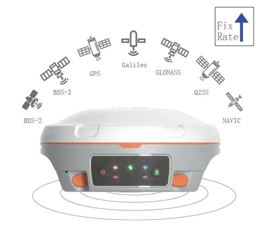
Tracking of all ongoing and planned constellations, including GPS, BDS-2, BDS-3, GLONASS, Galileo, QZSS, IRNSS, and SBAS
Water resitant
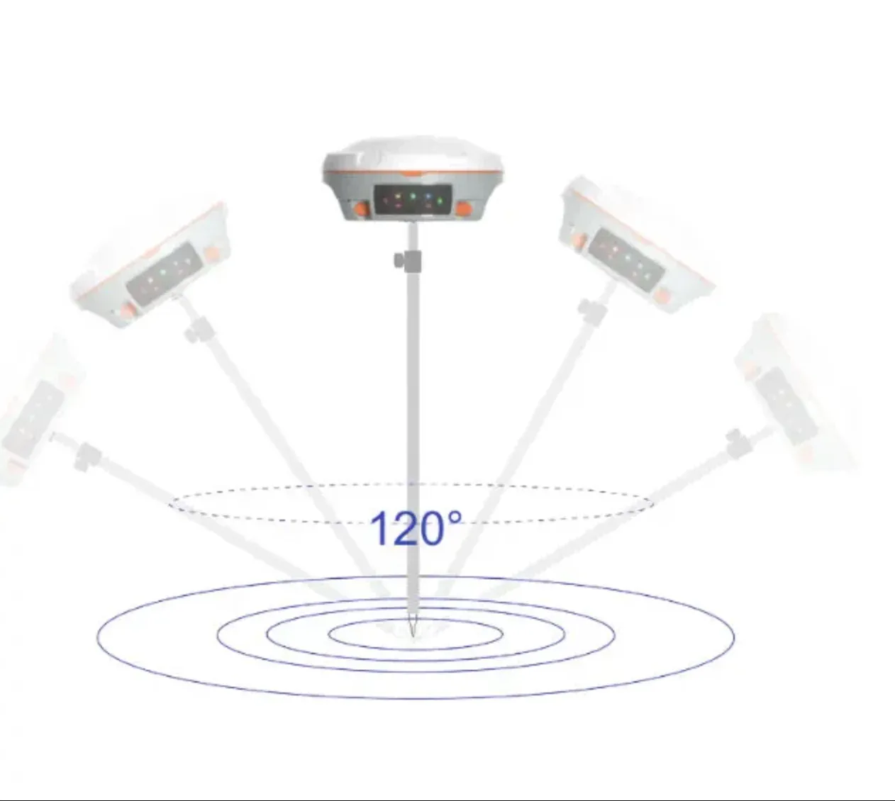
Tilt up to 120° with 2.5 cm accuracy IP67 water and dust resistant for harsh environments Continuous use of more than 20 hours.
Laser technology
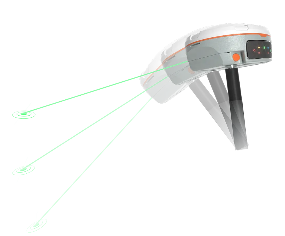
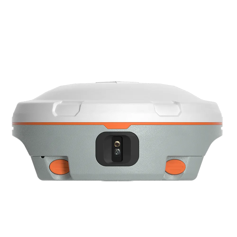
The precise green Mars laser, visible in daylight, can measure points where it is impossible to stand with a measuring stick. The combination of the GNSS receiver and the laser rangefinder integrates perfectly with the work of the surveyors and significantly increases productivity. Mars IMU has a built-in 3rd generation IMU sensor that detects slight accelerations from the laser point or range pole. Thanks to advanced algorithms, it can maintain high accuracy with tilt compensation of up to 120° in laser mode, simplifying field surveys and eliminating manual initialization.
1590
GPS: L1C/A, L1C, L2P, L2C, L5
BDS: B1l, B2l, B3l, B1C, B2a, B2b
GLONASS: G1, G2, G3
Galileo: E1, E5a, E5b, E6c, E5 AItBOC
QZSS: L1C/A, L2C, L5, L1C
IRNSS: L5
SBAS: L1C/A
≤1s
≤45s
≤15 s
<10s>
≥99.9%
1Hz, 2Hz, 5Hz, 10Hz, 20Hz
Horizontal 2.5 mm + 0.5 ppm RMS
Vertical 5 mm + 0.5 ppm RMS
Horizontal 3.0 mm + 0.1 ppm RMS
Vertical 3.5 mm + 0.4 ppm RMS
Horizontal 8mm + 1ppm RMS
Vertical 15mm + 1ppm RMS
<0.4m RMS
Horizontal 0.5m RMS
Vertical 0.8m RMS
1.5m 3D RMS
≤5.5cm (5m range, ≤60°Tilt in laser mode)
Φ 15.5cm x 7.3cm
1.2kg with two batteries
-40 °C~+65°C
-40 °C~+85°C
100% non-condensing
IP67
Survive a 2m drop onto the concrete
MIL-STD-810G Method 514.6 procedureⅠ
7-28VDC
1.7W
2 x 3400 mAh
8GB
≥20h
1 Baud rates up to 921,600 bps
Tx/Rx with full frequency range from 410-470MHz
Transmit power: 0.5W, 1W, 2W adjustable
Air Baud Rate: 9600/ 19200/ 11000 adjustable
Range: 3-15 km
Protocol type: support Transparent/TT450S/South/Mac/SNLonglink, compatible with all the ComNavTech GNSS Receivers
802.11 a/b/g/n, 2.4Ghz
LTE-FDD: B1/B2/B3/B4/B5/B7/B8/B12/B13/B18/B19/B20/B25/B26/B28
LTE-TDD: B38/B39/B40/B41
WCDMA: B1/B2/B4/B5/B6/B8/B19
1 Hz, 2 Hz, 5 Hz, 10 Hz, 20 Hz
5 (Indicating Satellites Tracking, RTK Corrections data, GPRS Status and Power)
2 for Power and Static Data Record
V 4.0 protocol, compatible with Windows OS and Android OS
Calibration-free IMU integrated for Tilt Survey
Up to 120° tilt with 2.5 cm accuracy
RTCM2.X, 3.X, CMR(GPS only), CMR+(GPS only)
ASCII: NMEA-0183 GSV, RMC, HDT, GGA, GSA, ZDA, VTG, GST; PTNL, PJK; PTNL, GGK
ComNav Binary update to 20 Hz
10m
(3-5)mm + 1ppm
Classic Value: 3Hz
Maximum Value: 5Hz
0.9mW~1.5mW
-20°C~+50°C
-30°C~+60°C
Industries
Relevant Industries and applications
Explore


