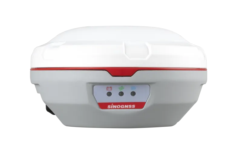
A200 Radio Receiver
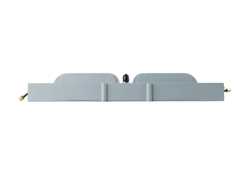
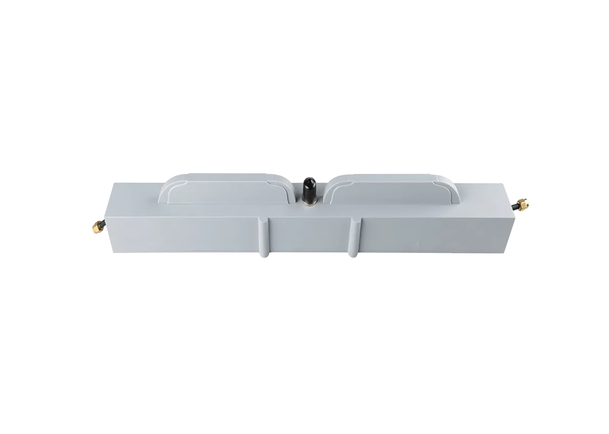
The ComNav A200 GNSS Receiver is a cutting-edge dual-antenna positioning and heading solution that delivers high-precision RTK positioning and reliable heading data for demanding applications, breaking conventional limits in precision agriculture, machine control, robotics, and fleet management.
Introduction
Experience Universal Monitoring with the A200 Dual Antenna Heading Receiver
The A200 weighs just 380 g, reducing user fatigue and making it easy to handle in the field. It is a revolutionary GNSS receiver that delivers high-precision RTK positioning with dual-antenna heading, featuring 1590 tracking channels and the ability to track more than 50 satellites simultaneously.
Innovative
Explore the Technical Specifications of GNSS Receiver
Characteristics:
- GNSS, radio, RTK, satellite, multi-constellation, multi-frequency
- USB, serial
- compact, rugged, multi-channel, with integrated antenna, IP67, high-precision, multi-frequency, outdoor, low-power
The A200 is more compact and smaller than its competitors, making it easy to install. Meanwhile, it is IP67 waterproof and dustproof, making it suitable for various harsh environments.
Dual antenna
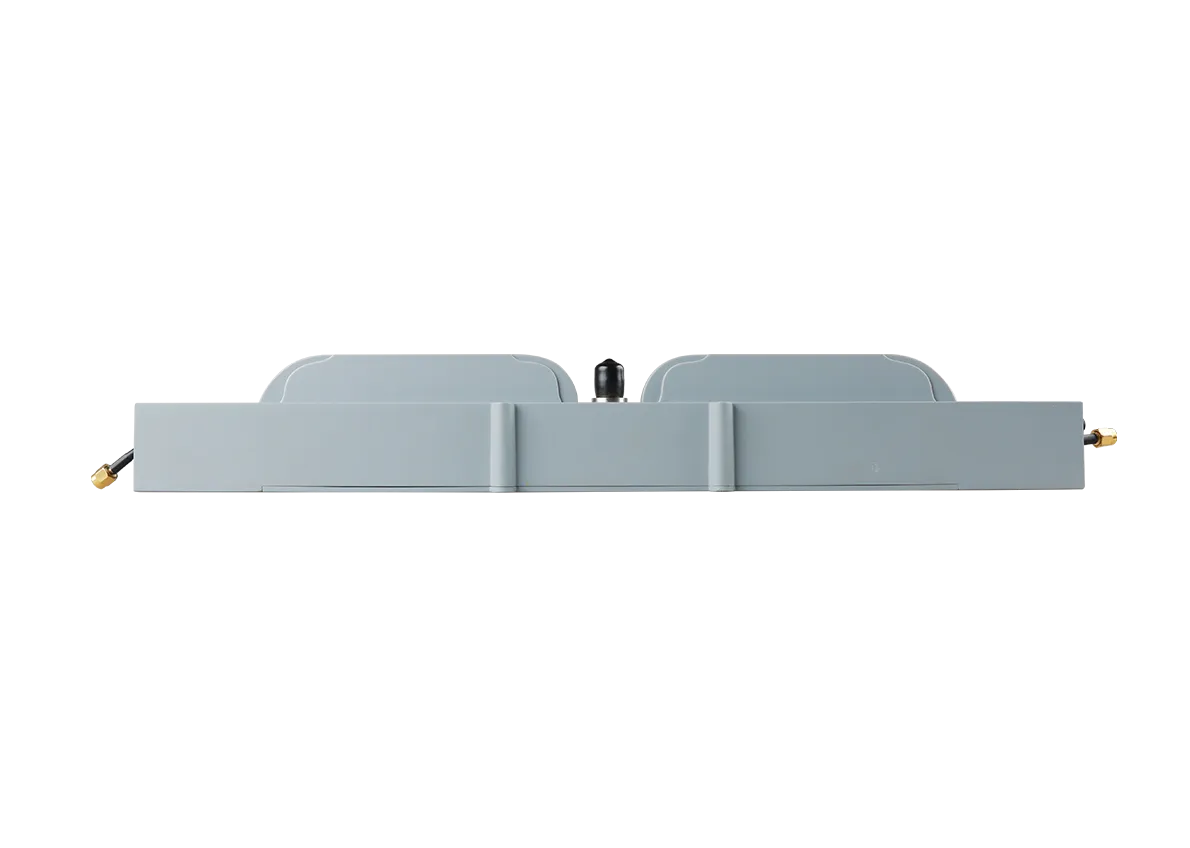
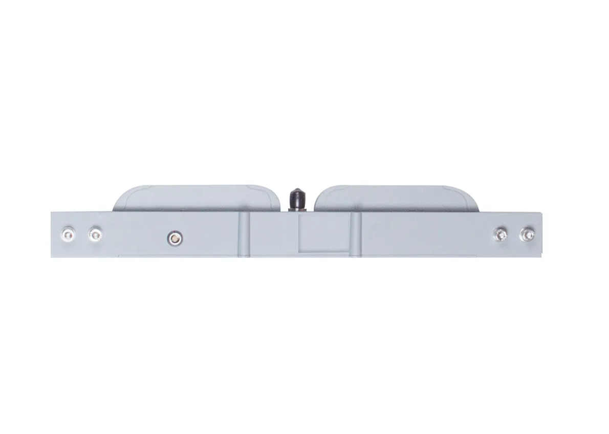
Dual antenna design for high-precision heading and positioning
Tracking
Tracking of all ongoing and planned constellations, including GPS, BDS, GLONASS, Galileo, QZSS, and SBAS
QUANTUMTM Advanced Technology
Full Constellation Tracking = The A200 is a built-in high-precision positioning and heading receiver
Data Link
Built-in data link with low power consumption and long working range
GNSS
Advanced generation GNSS, featuring 1226 channels to track all current and planned constellations, including GPS, BDS, GLONASS, Galileo, QZSS, and SBAS onboard IMU for reliable navigation
IMU
With the third-generation IMU, the A200 can deliver continuous, high-quality data even in harsh environments, even with signal loss
1226
GPS: L1C/A, L1C, L2P, L2C, L5
BDS: B1l, B2l, B3l, B1C, B2a, B2b
GLONASS: G1, G2, G3
Galileo: E1, E5a, E5b, E6c, E5 AItBOC
QZSS: L1C/A, L2C, L5, L1C
IRNSS: L5
SBAS: L1C/A
Horizontal: 2.5 mm + 1 ppm
Vertical: 5 mm + 1 ppm
Horizontal: 8 mm + 1 ppm
Vertical: 15 mm + 1 ppm
<0.4 m RMS
1 m 3D RMS
1.5 m 3D RMS
≤ 0.02 m/s (PDOP ≤4)
(0.15/R) °
(0.25/R) °
Cold start <30s
<10s
>99.99%
<1s
460mm × 38mm × 58mm
627g
Aluminum-magnesium alloy
-30 to +65°C
-30 to +65°C
IP67
100% fully sealed, anti-condensation
Survive a 2 m drop onto concrete
DC 4.5~12V
Auto power-on
2.6W (typical value)
1 serial port and 1 USB port (7-pin Lemo connector)
Tx/Rx with full frequency range from 410-470 MHz
Transmit power: 0.5-2 W adjustable
Baud rates: 19.2kbps, 9.6kbps
Transmission protocol: transparent transmission, TT450S/SOUTH/MAC (Super-long range module is optional)
1Hz, 2Hz, 5Hz, 10Hz, 20Hz
RTCM2.x, RTCM3.x, CMR (GPS only), CMR+ (GPS only)
ASCII: NMEA-0183 GGA, GSA, GSV, RMC, HDT, VHD, ZDA, VTG, GST, GLL; PTNL, PJK; PTNL, AVR; PTNL, GGK
ComNav Binary
BINEX Data: 0x00, 0x01-01, 0x01-02, 0x01-05, 0x7d-00, 0x7e-00, 0x7f-05
Explore