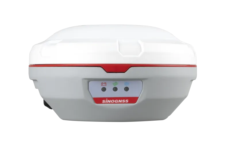
A300 GNSS
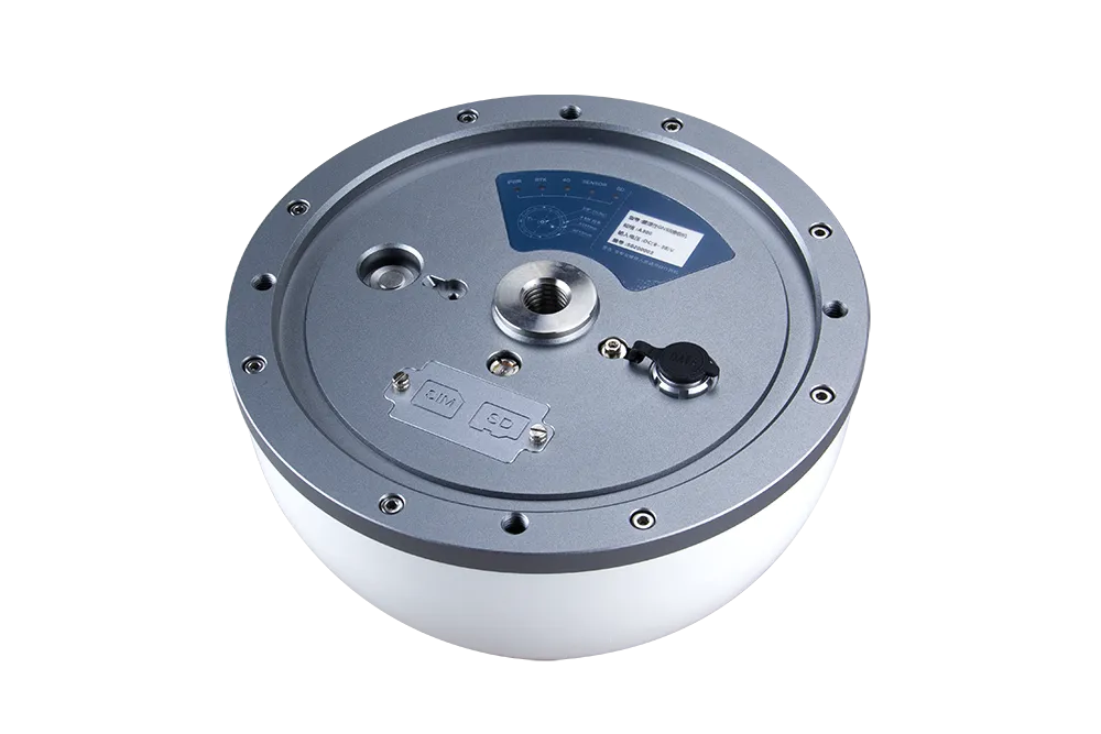
A300 is a robust GNSS reference receiver offering full-constellation, multi-frequency tracking and precision augmentation, redefining dependability for modern positioning networks.
Introduction
Experience Universal Monitoring with the A300 GNSS Receiver
The A300 is a compact all-in-one receiver built for continuous monitoring — combining millimeter-level accuracy, multi-sensor compatibility, and remote connectivity via 4G/UHF/Bluetooth for resilient field operation.
Innovative
Explore the Technical Specifications of GNSS Receiver
Characteristics:
- UHF, GNSS, RTK, satellite, Bluetooth, multi-constellation, multi-frequency, GSM, IP
- USB, serial
- Compact, rugged, with built-in antenna, 965 channels, multi-frequency, high-precision, low-latency, low-power, IP68
High Precision and Reliable Performance
The A300 GNSS receiver ensures millimeter-level precision and high reliability, even in demanding environments.
It is compatible with multiple external sensors and supports remote monitoring and management through the Navigate Master platform.
Thanks to its anti-vibration and lightning protection, it is designed for 24/7 operation with an MTBF greater than 50,000 hours, making it ideal for industrial and continuous-use scenarios.
Communication and Storage Capabilities
The A300 supports flexible communication via 4G, Bluetooth, and UHF, allowing easy data transmission in any field environment.
Its large 8GB internal memory ensures reliable loop recording, while IP68 protection guarantees durability against water and dust.
Full Constellation Tracking
With 965 tracking channels, the A300 is capable of monitoring all current and planned GNSS constellations, including GPS, GLONASS, Beidou, Galileo, IRNSS, SBAS, and QZSS.
This multi-frequency capability enhances accuracy and ensures consistent data quality in all survey and monitoring operations.
Rugged and Versatile Design
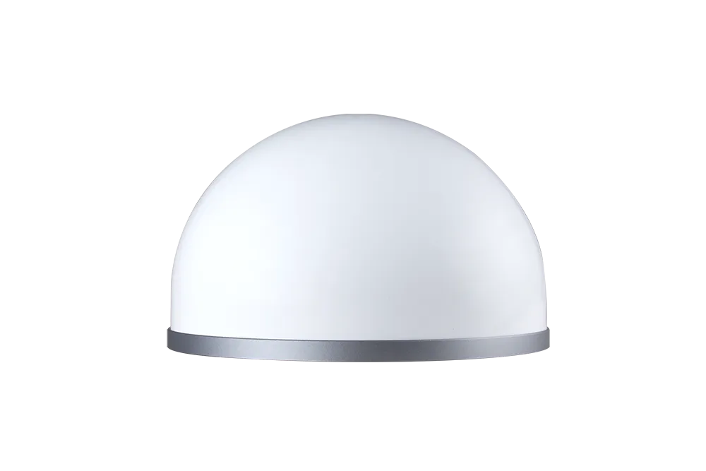
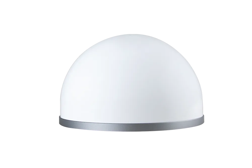
Engineered for harsh environments, the A300’s IP68-rated casing protects against water, dust, vibration, and lightning.
It is widely used in geological monitoring, mining operations, hydraulic and hydroelectric structures, bridges, and high-rise construction projects.


965
GPS: L1C/A, L1C, L2P, L2C, L5
BDS: B1l, B2l, B3l, B1C, B2a, B2b
GLONASS: G1, G2, G3
Galileo: E1, E5a, E5b, E6c, E5 AItBOC
QZSS: L1C/A, L2C, L5, L1C
IRNSS: L5
SBAS: L1C/A
<60 s
<15 s
<10 s
<1 s
>99.9%
15 g
20 ns
Horizontal: 2.5 mm + 1 ppm
Vertical: 5 mm + 1 ppm
Horizontal: 8 mm + 1 ppm
Vertical: 15 mm + 1 ppm
<0.4 m RMS
1 m 3D RMS
1.5 m 3D RMS
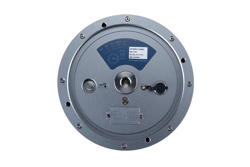
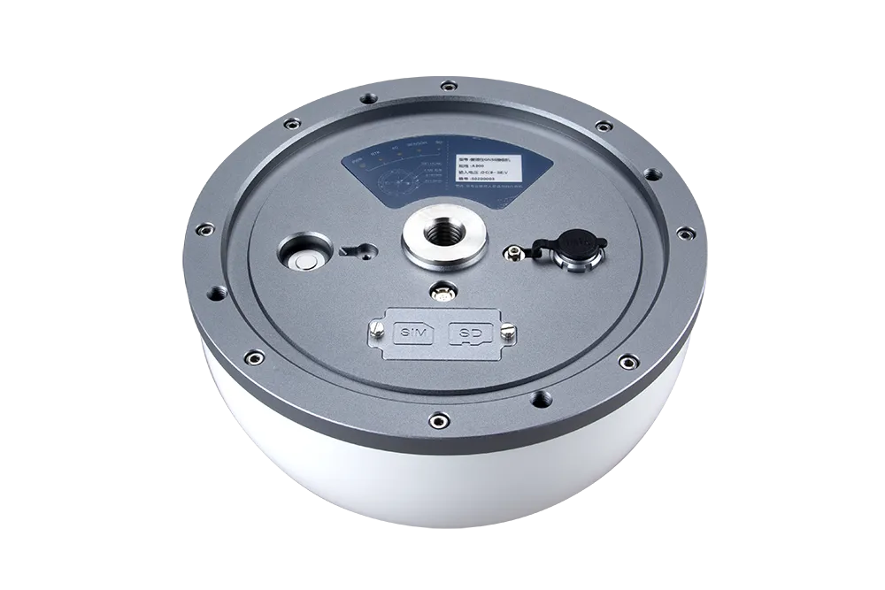
φ205mm*126.5mm
≤2kg
FRP cover & aluminum alloy base
-40°C to +70°C
-55°C to +85°C
IP68
100% No-condensing
≥50000h
6-36 VDC, overvoltage protection
<2 w
Serial port, USB port, power, switching value
Support external sensors input
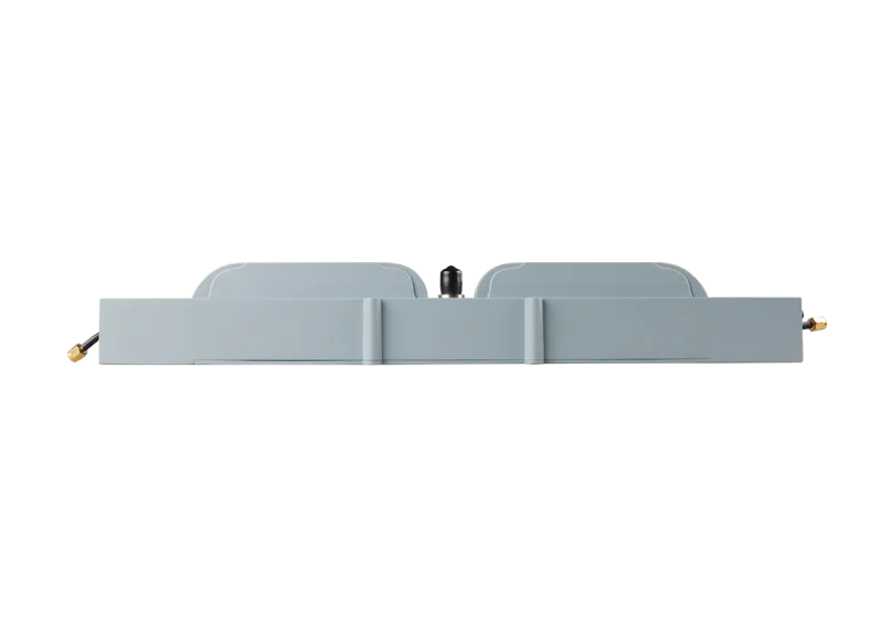
UHF modem
Dual SIM dual standby
RS232, RS485
USB 2.0
Frequency range: 410MHz-470MHz
Transmit power: 0.5-2 W adjustable
Range: 8-15 km
4.1/2.1+EDR, 2.4GHz
4G modem
4 LEDs, indicating power, satellite searching, correction data and GSM status
RTCM 2.X, 3.X, CMR (GPS only)
NMEA-0183,RTCM2.X,RTCM3.X
60s, 30s, 15s, 10s, 5s, 1Hz, 2Hz, 5Hz, 10Hz
Explore