N5 GNSS Receiver
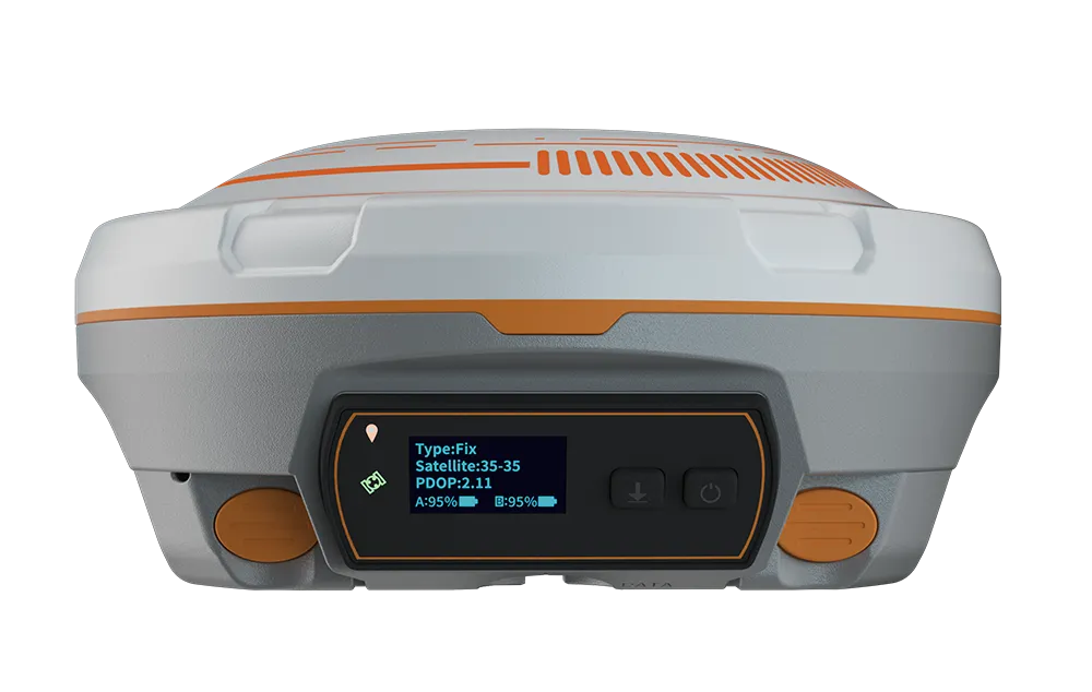
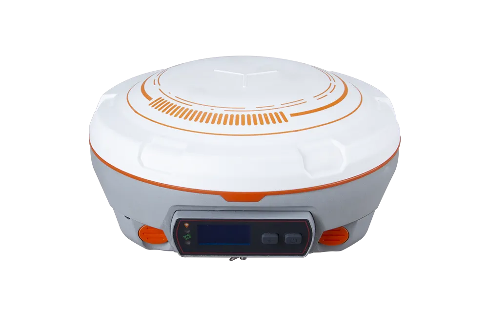
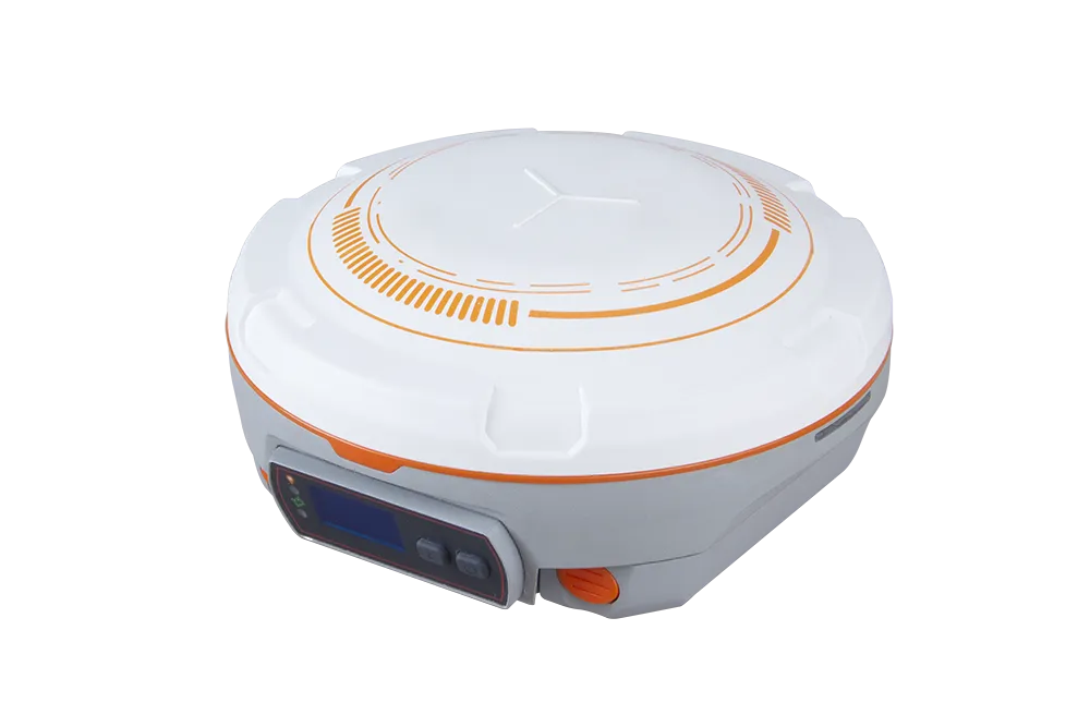
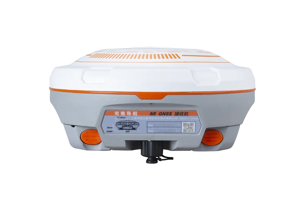
The N5 GNSS Receiver redefines field surveying with full-constellation tracking, an integrated IMU engine, and long-range UHF — empowering professionals to work more efficiently even under the most demanding conditions.

Introduction
Experience Unmatched Positioning with Our GNSS Receiver
With its robust build and full-constellation tracking, the N5 puts precision in your hands — integrating IMU tilt compensation, long-range UHF radio, and a high-capacity battery to support demanding surveying tasks without compromise.
Innovative
Explore the Technical Specifications of GNSS Receiver
Characteristics:
- QZSS, GPS, GLONASS, GALILEO, BeiDou, SBAS, multifréquence, UHF, RTK, satellite, Bluetooth, multi-constellation, GSM
- Compact, rugged, multi-channel, with built-in antenna, portable, multi-frequency, multi-constellation, low power
Full constellation and full frequency tracking
User-friendly OLED display 6800mAh large-capacity Li-ion battery for more than 24 hours working time UHF enhanced for a working range of up to 15km.
Rugged Enclosure Web-based User Interface
Low, industry-leading power consumption Seamless work with network RTK positioning
Full Constellation Tracking
The N5 tracks 1198 channels for all running satellite constellations, including GPS, GLONASS, Beidou, Beidou global, Galileo, QZSS, IRNSS, SBAS and L-Band.
With the built-in IMU and self-developed core algorithm, with an accuracy of less than 2.5cm, ensure accuracy anywhere and anytime, without being affected by the Earth's magnetic field Enhanced OLED Screen The sunlight-readable OLED screen provides a clear and easy-to-read viewing experience, and handles all on-screen surveying operations with complete freedom.
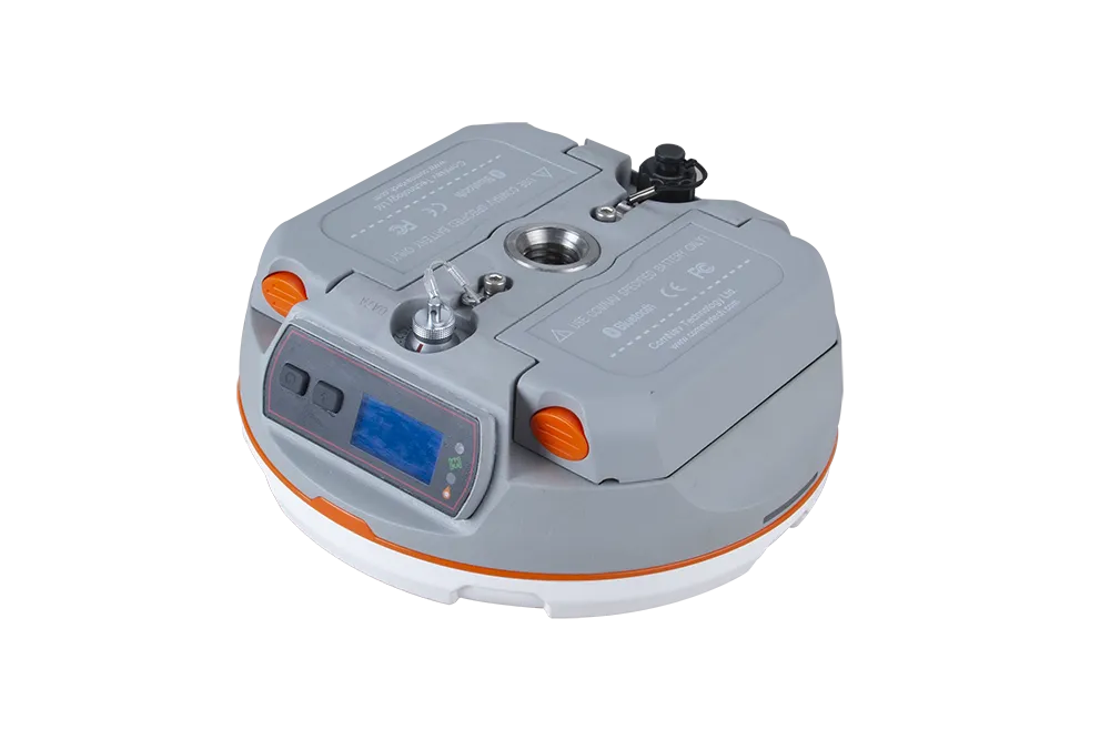
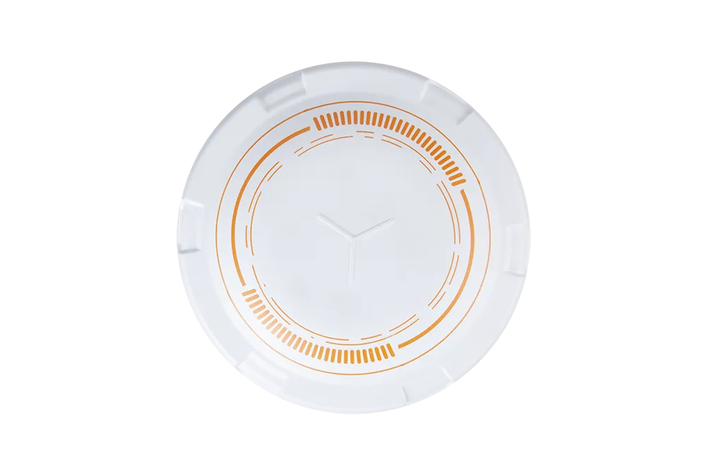
1198
GPS: L1C/A, L2C, L2P, L5
BeiDou: B1I, B2I, B3I, B1C, B2a, B2b
GLONASS: L1, L2, L3
Galileo: E1, E5a, E5b, E6, E5 AltBOC
QZSS: L1C/A, L1C, L2C, L5
Navic: L5
SBAS: WAAS, EGNOS, MSAS, GAGAN, SDCM, BDSBAS
L-Band
<1.5 s
<50s
<30 s
<15 s
<10s
>99.9%
Horizontal 2.5 mm + 0.5 ppm RMS
Vertical 5 mm + 0.5 ppm RMS
Horizontal 8mm + 1ppm RMS
Vertical 15mm + 1ppm RMS
3 mm + 0.1 ppm Horizontal
3.5 mm + 0.4 ppm Vertical
<0.4m RMS
1 m 3D RMS
1.5m 3D RMS
10cm Horizontal and
20cm Vertical
Φ 15.5 cm × 7.3 cm
1.2 kg with two batteries
-40 °C to + 65 °C (-40 °F to 149 °F)
-40 °C to + 85 °C (-40 °F to 185 °F)
100% non-condensing
IP67, protected from temporary immersion to depth of 1m
Designed to survive a 2 m drop onto concrete
7-28 VDC
1.7 W
2 × 3400 mAh, up to 25 hours typically
8 GB
1 Baud rates up to 921,600 bps
Tx/Rx with full frequency range from 410-470MHz
Transmit power: 0.5W, 1W, 2W adjustable
Air Baud Rate: 9600/ 19200/ 11000 adjustable
Range: 3-15 km
Protocol type: support Transparent/TT450S/South/Mac/SNLonglink, compatible with all the ComNavTech GNSS Receiver
LTE-FDD: B1/B2/B3/B4/B5/B7/B8/B12/B13/B18/B19/B20/B25/B26/B28
LTE-TDD: B38/B39/B40/B41
WCDMA: B1/B2/B4/B5/B6/B8/B19
GSM: B2/B3/B5/B8
1 Hz, 2 Hz, 5 Hz, 10 Hz, 20 Hz
2
1
2
V 4.0 protocol, compatible with Windows OS and Android OS
Up to 120° tilt with 2.5 cm accuracy
RTCM 2.X, 3.X, CMR (GPS only), CMR+ (GPS only)
ASCII: NMEA-0183 GSV, RMC, HDT, VHD, GGA, GSA, ZDA, VTG, GST; PTNL, PJK; PTNL, AVR; PTNL, GGK
ComNav Binary update to 20 Hz
Explore

