N3 IMU GNSS Receiver
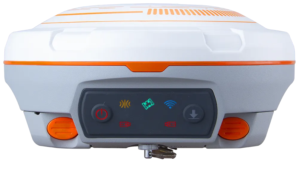
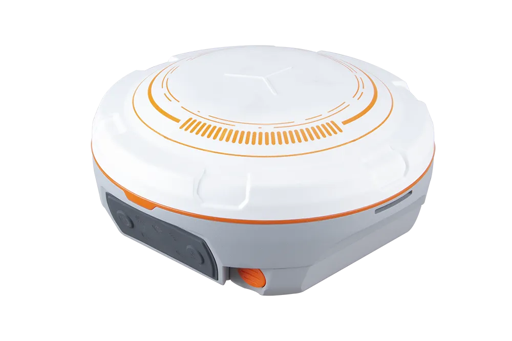
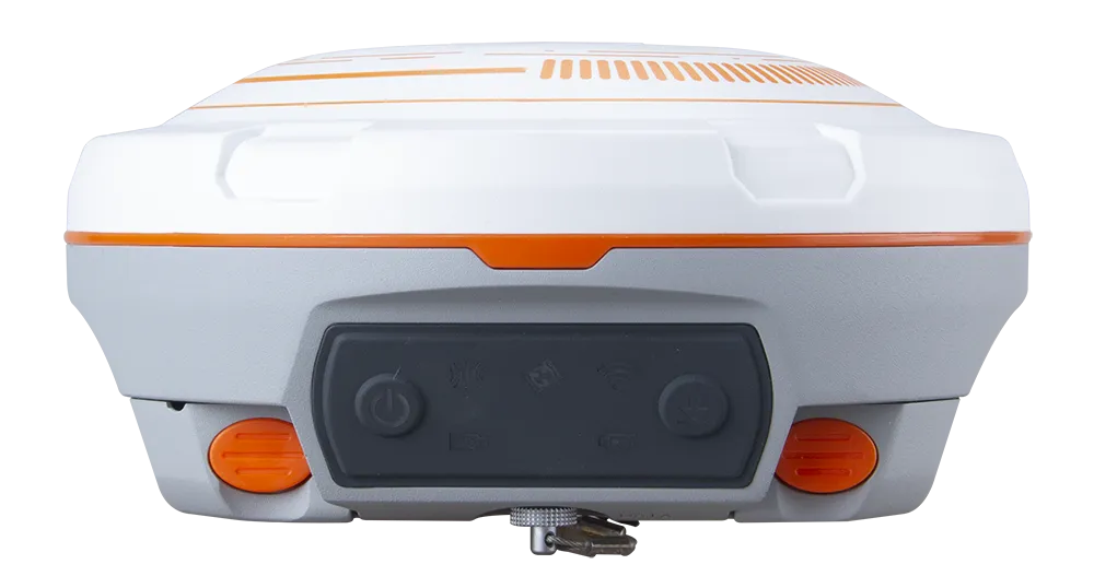
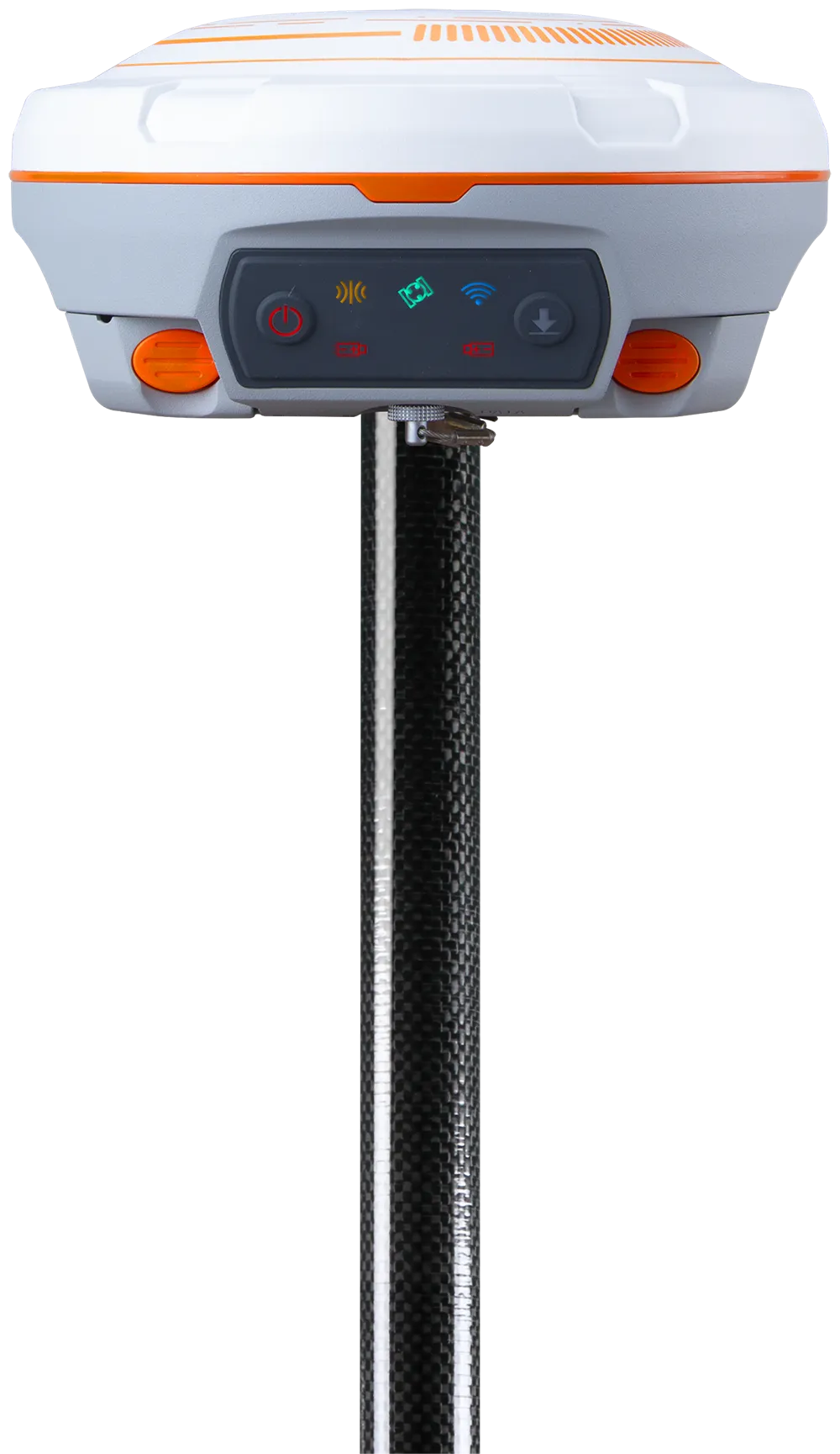
Featuring 1198 channels of tracking all running and planned constellations, enhanced UHF for up to 15km working range, improved high precision IMU and over 24 hours working time, the N3 receiver making it more efficient for your survey tasks.

Introduction
Experience Unmatched Positioning with Our GNSS Receiver
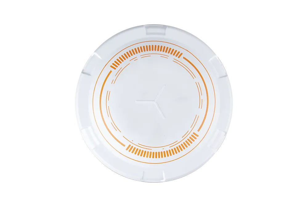
The N3 Series combines a compact design with powerful performance, offering 1590 channels and tracking of more than 50 satellites. Equipped with advanced IMU and laser technologies, it ensures high precision and reliability for demanding GNSS applications.
Innovative
Explore the Technical Specifications of GNSS Receiver
Characteristics:
- GPS, GLONASS, GALILEO, QZSS, BeiDou, SBAS, radio, RTK, GSM, wireless, multi-constellation, multi-frequency, satellite, Bluetooth
- Compact, rugged, multi-channel, with built-in antenna, portable, IP67, high-precision, multi-frequency, modular, low-latency, multi-constellation, low-power
- Support for GPS, BDS-2, BDS-3, GLONASS, Galileo, QZSS, IRNSS, and SBAS tracking
Long-lasting 25-hour batteries
Long-lasting 25-hour batteries
Working range up to 15km with 2W power consumption with enhanced UHF IP67 water and dust protection level for harsh environments. Improved IMU with simpler initialization and high accuracy Industry-leading 1.7W low power consumption Powerful web-based user interface to easily download static data and upgrade firmware
Support WiFi/4G/Bluetooth/UHF transmission
New K8 Platform Integrated with the new K8 platform, the N3 is equipped with powerful tracking capability for more than 50 satellites, higher computing capacity, and lower power consumption.
Improved IMU
By adopting the improved INS algorithm, the second generation of IMUs achieves a simpler initialization process and an improved 2 cm UHF accuracy. Working range of up to 15km with 2W power consumption, making it efficient and energy-efficient for your study tasks.
Built-in UHF range ranges from 410 to 470 MHz with 250 KHz channel spacing
1198
GPS: L1 C/A, L2C, L2P, L5
BeiDou: B1I, B2I, B3I
BeiDou Global Signal: B1C, B2a, B2b
GLONASS: L1 C/A, L1P, L2 C/A, L2P
Galileo: E1, E5a, E5b, E6, E5 AltBOC
QZSS: L1C, L2, L5, L1C/A
IRNSS: L5
SBAS: WAAS, EGNOS, MSAS, GAGAN, SDCM
L-Band
<1.5 s
<50s
<30 s
<15 s
<10s
>99.9%
Horizontal 2.5 mm + 0.5 ppm RMS
Vertical 5 mm + 0.5 ppm RMS
Horizontal 8mm + 1ppm RMS
Vertical 15mm + 1ppm RMS
3 mm + 0.1 ppm Horizontal
3.5 mm + 0.4 ppm Vertical
<0.4m RMS
1 m 3D RMS
1.5m 3D RMS
10cm Horizontal and
20cm Vertical
Φ 15.5 cm × 7.3 cm
1.2 kg with two batteries
-40 °C to + 65 °C (-40 °F to 149 °F)
-40 °C to + 85 °C (-40 °F to 185 °F)
100% non-condensing
IP67, protected from temporary immersion to depth of 1m
Designed to survive a 2 m drop onto concrete
6-28 VDC
1.7 W
2 × 3400 mAh, 7.4V, up to 24 hours typically
8 GB
1 Baud rates up to 921,600 bps
Tx/Rx with full frequency range from 410-470MHz
Transmit power: 0.5W, 1W, 2W adjustable
Air Baud Rate: 9600/ 19200/ 11000 adjustable
Range: 3-15 km
Protocol type: support Transparent/TT450S/South/Mac/SNLonglink, compatible with all the ComNavTech GNSS Receivers
802.11b/g/n, 2.4Ghz
LTE-FDD: B1/B2/B3/B4/B5/B7/B8/B12/B13/B18/B19/B20/B25/B26/B28
LTE-TDD: B38/B39/B40/B41
B1/B2/B4/B5/B6/B8/B19
B2/B3/B5/B8
1 Hz, 2 Hz, 5 Hz, 10 Hz, 20 Hz
5
2
V 4.0 protocol, compatible with Windows OS and Android OS
Up to 120° tilt with 2.5 cm accuracy
RTCM 2.X, 3.X, CMR (GPS only), CMR+ (GPS only)
ASCII: NMEA-0183 GSV, RMC, HDT, VHD, GGA, GSA, ZDA, VTG, GST; PTNL, PJK; PTNL, GGK
ComNav Binary update to 20 Hz
Industries
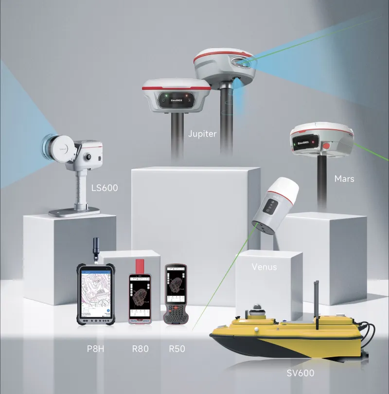
Relevant Industries and applications
Explore

