N2 Palm GNSS Receiver
The ultra-thin design makes the N2 one of the most compact GNSS receivers, specifically designed for terrestrial topography, marine, precision agriculture, machine control, and GIS 1590 channels and tracking capabilities of more than 50 satellites.

Introduction
Experience Unmatched Positioning with Our GNSS Receiver
The ultra-thin design makes the N2 one of the most compact GNSS receivers: only 48 mm and 0.67 kg with battery. With integrated antenna, compact, rugged, multi-channel, portable, IP67, low power, low latency, high precision, multifrequency, with relay output, modular, multi-constellation, NFC.
TrackInnovative
Explore the Technical Specifications of GNSS Receiver
Characteristics:
- UHF LowRa, GNSS, RTK, wireless, satellite, Bluetooth, multi-constellation, multi-frequency, IP
Compact and Lightweight Design
Compared to a typical GNSS receiver, it is more than 35% thinner and 40% lighter, making it easier to carry, use, and operate without fatigue. Lighter, Thinner, and Stronger - The N2 is specifically designed for terrestrial topography, marine, precision agriculture, machine control, and GIS 1590 channels and tracking capabilities of more than 50 satellites.
Tracking abilities
Tracking of all ongoing and planned constellations, including GPS, BDS-2, BDS-3, GLONASS, Galileo, QZSS, IRNSS, and SBAS. Working range of up to 15 km with enhanced UHF Tilt up to 120° with 2.5 cm accuracy
Powerfull batteries
More than 20 hours of continuous work with 10000mAh batteries Support NFC and Bluetooth connection.
IP67 dustproof and waterproof for harsh environments
Rated IP67 dustproof and waterproof, the N2 thrives in harsh environments, protecting it from dust ingress and immersion in water.
Easy connection
Thanks to advanced NFC technology, the N2 can be connected automatically with a single touch. Dual-mode Bluetooth 5.0 allows users to connect at a higher distance and according to power-saving standards. Tedious pairings are now a thing of the past 3rd generation IMU By compensating for up to 120° of tilt, the N2 eliminates the challenges of measuring hidden or dangerous points and maintains an accuracy of 2.5 cm. In addition, it is immune to magnetic disturbances, which increases its reliability.
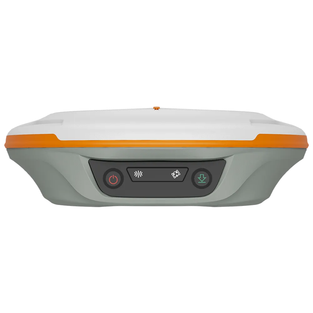
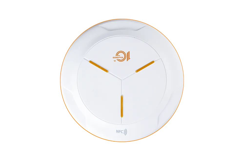
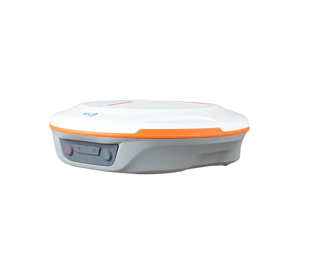
1590
GPS: L1C/A, L1C, L2P, L2C, L5
BDS: B1l, B2l, B3l, B1C, B2a, B2b
GLONASS: G1, G2, G3
Galileo: E1, E5a, E5b, E6c, E5 AItBOC
QZSS: L1C/A, L2C, L5, L1C
IRNSS: L5
SBAS: L1C/A
≤1s
≤45s
≤15 s
<10s>
≥99.9%
8GB
Horizontal 2.5 mm + 0.5 ppm RMS
Vertical 5 mm + 0.5 ppm RMS
Horizontal 8mm + 1ppm RMS
Vertical 15mm + 1ppm RMS
3 mm + 0.1 ppm Horizontal
3.5 mm + 0.4 ppm Vertical
<0.4m RMS
0.5m Horizontal
0.8m Vertical
1.5m 3D RMS
1Hz, 2Hz, 5Hz, 10Hz
up to 120° tilt with 2.5cm accuracy
Magnesium aluminum alloy
149±1mm(φ), 48±1mm(H)
670g
-30°C~+65°C
-40°C~+85°C
100% non-condensing
IP67
Survive a 2m drop onto the concrete
5/9V
RX mode≤1.8W, TX mode≤3.6W
30V, VBUS 9.99V
<5h(QC2.0)>
≥20h
Support serial communication
Type-C
USB TYPE-C
Standard 5/8'' UNC female thread
TNC
RTCM 2.X, 3.X, CMR (GPS only), CMR+ (GPS only)
Tx/Rx with full frequency range from 410-470MHz
Transmit power: 0.5W, 1W, 2W adjustable
Air Baud Rate: 9600/ 19200/ 11000 adjustable
Range: 3-15 km
Protocol type: support Transparent/TT450S/South/Mac/SNLonglink, compatible with all the ComNavTech GNSS Receivers
ASCII: NMEA-0183 GSV, RMC, HDT, GGA, GSA, ZDA, VTG, GST; PTNL, PJK; PTNL, GGK
ComNav Binary update to 20 Hz
Explore

