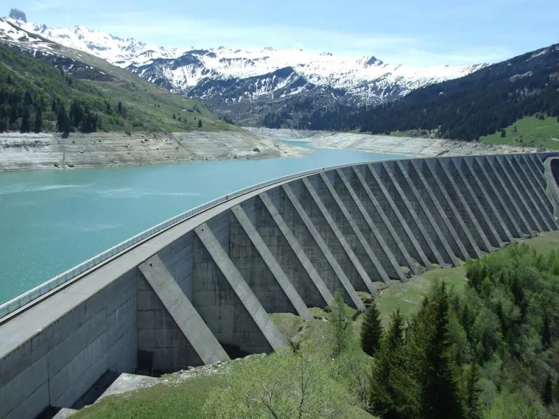
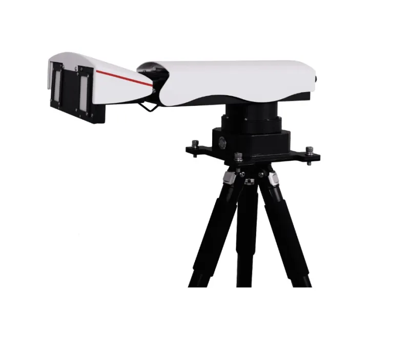
MS SAR1000 Universal Slope Monitoring Radar
The MS SAR1000 is the universal version for large scale monitoring
Introduction
The MS SAR1000 is the universal version for large scale monitoring
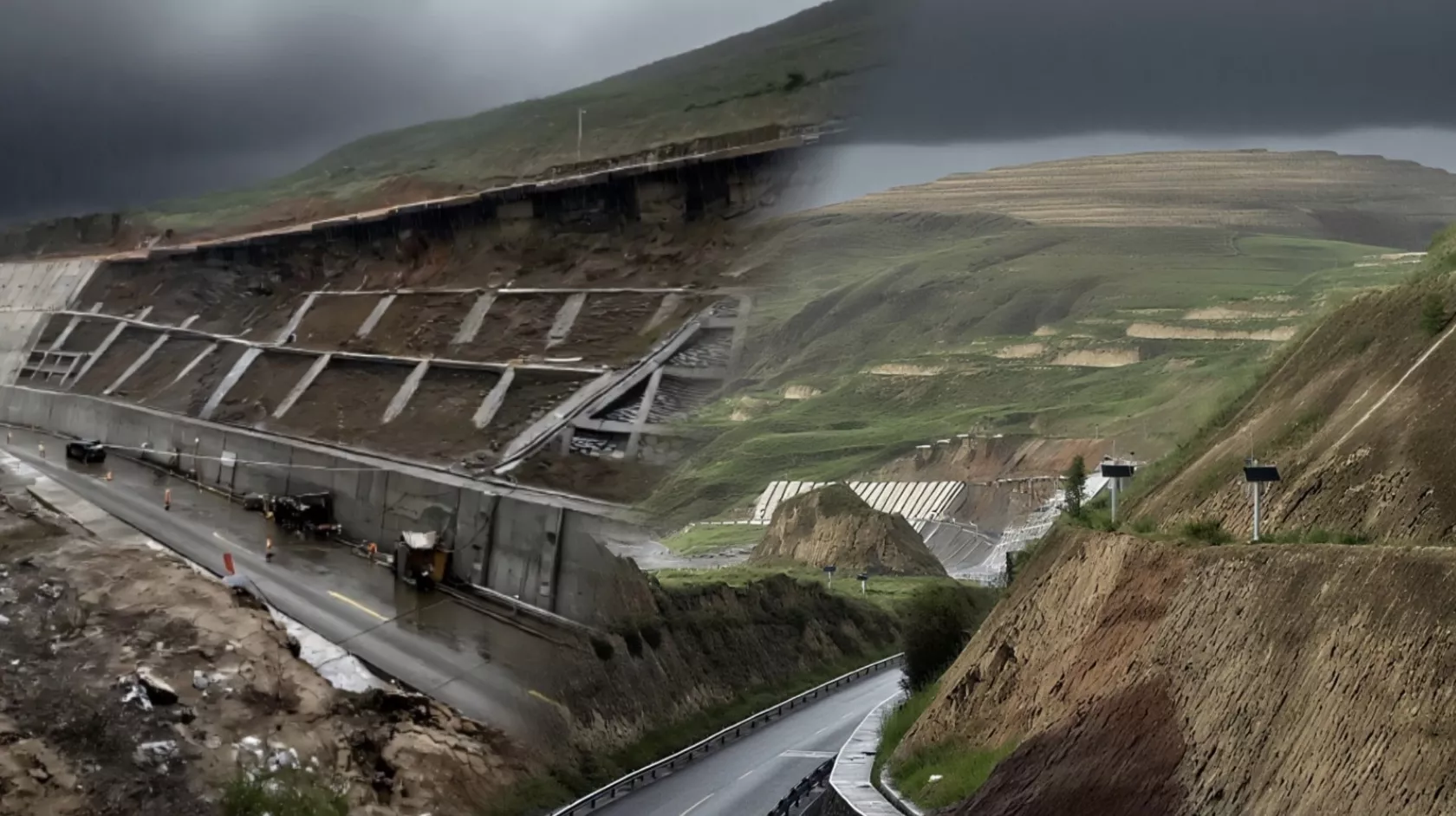
The Universal Slope Monitoring Radar MS-SAR1000 is based on Synthetic Aperture Radar (SAR) imaging technology and interferometric/ differential interferometric techniques. It is specifically designed for monitoring and alert of geohazard risks such as landslides, collapses, and cave-ins. The radar delivers 360° sub-millimeter deformation measurement and 24/7 unmanned early warnings for geohazard risks.
Key Innovations and Performance Features
Characteristics
- Universal Equipment for Geohazards
- All-weather, All-time, Area-based Monitoring
- Arc lmaging and Continuous Wave Radar
- Integrated 4G Communication and Wireless Routing Function
- Lightweight Design
No Protective Setup Required
Includes multi-point monitoring capabilities with strong penetration, unaffected by rain, snow, fog, smoke, bright light, or night time conditions. With lP65 protection, it works normally at -40°C and with stands up to level 12 wind resistance.
On-contact remote sensing scanning
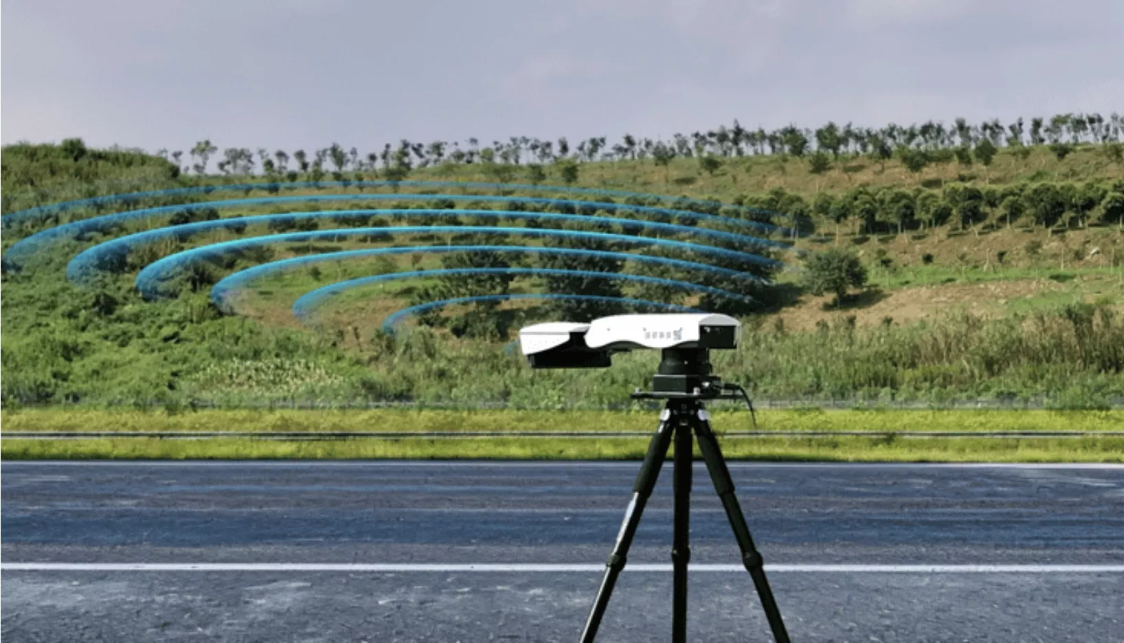
The MS-SAR1000 is an arc imaging and continuous wave radar. The radar offers sub-millimeter level deformation measurement, capable of monitoring 360° or a specified sector, with no angular or distance blind spots.
Monitoring Intelligent Alert Cloud Platform
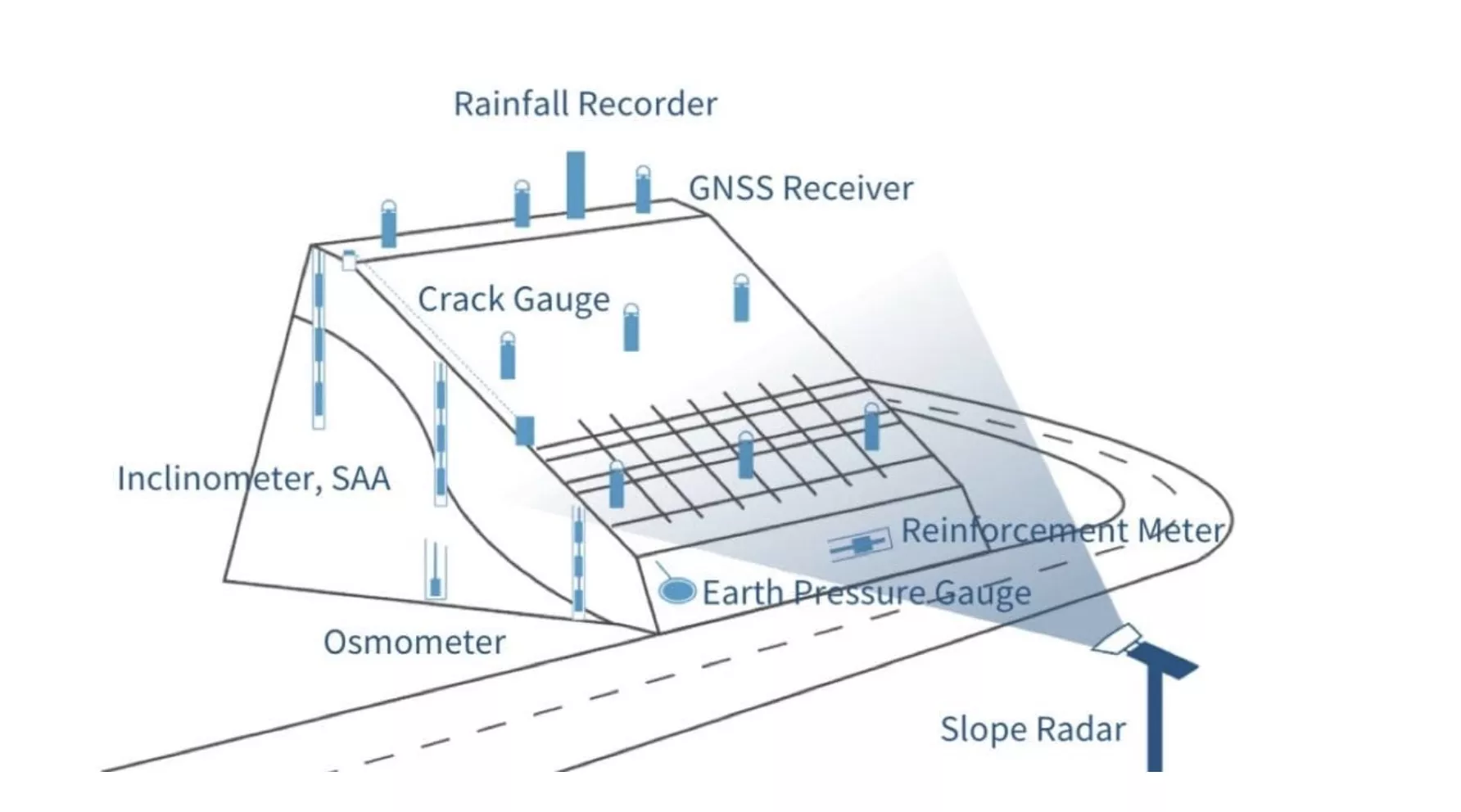
Integrates compatibility with multiple sensor types and a built-in landslide alert model, enabling multiple alarm methods, 3D display of monitoring results, alarm area shielding, and detailed monitoring report generation.
≤5kg
≤0.6m
-40℃~+65℃
IP65
≥12 Level
≤15W
Host adopts edge-front calculation
completing all processing internally without the need for external processing equipment
Built-in
Built-in
Y
Y
Y
Y
Support
Support
Support
Y
Y
Ku Band
≥800m
360° (Horizontal, or specified sector)
≤0.5mm(Any angle within 360° azimuth)
≤0.3m
≤9mrad
≤1min
1000 m
1min~24h (Configurable)
≥6000m
Industries