Unmanned Survey
Unmanned systems have become essential for collecting accurate geospatial data from water. USVs support hydrographic surveys without the need for manned vessels. USV hydrographic survey bring efficiency, safety and precision to modern surveying operations.
ComNav Technology integrates advanced GNSS modules into this systems to ensure stable positioning, fast signal acquisition and seamless integration into professional workflows.
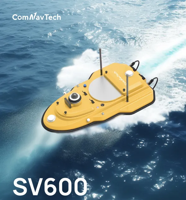
USV in Modern Surveying
USV reshape the way professionals capture, analyse and model the world. These autonomous platforms limit human risk, reduce operating time and ensure consistent, repeatable measurements.
USV Applications
Marine and inland-water surveys gain efficiency through USVs that operate autonomously with stable GNSS positioning:
- bathymetric measurements and hydrographic mapping,
- lake and reservoir monitoring,
- sediment and depth analysis,
- coastal and river studies.
These complementary platforms provide a complete unmanned surveying workflow on land and water.
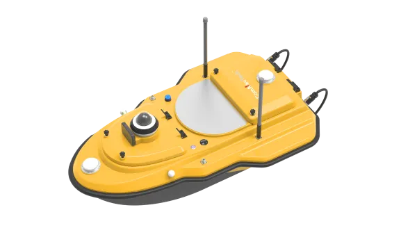
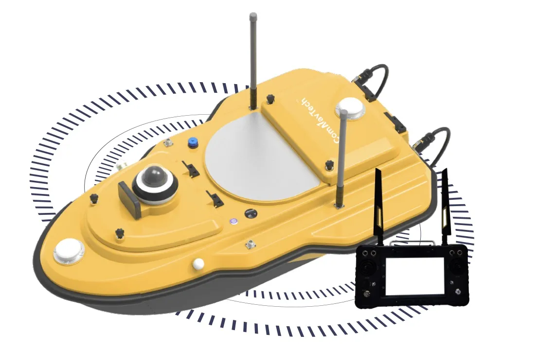
SV600 Unmanned Surface Vessel
The SV600 is a dedicated USV engineered for hydrographic and environmental data collection. It combines adaptive straight-line navigation with hovering capabilities to remain stable when collecting depth or positional measurements.
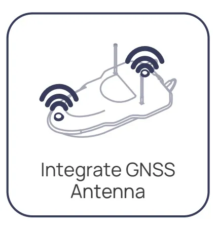
Its multi-constellation GNSS integration ensures consistent accuracy, even in challenging environments. The SV600 is suitable for inland waters, coastal zones, ports, reservoirs and environmental research projects requiring precise and repeatable observations.
Integrated GNSS Technology for Autonomous Missions
Unmanned platforms rely on precise navigation to execute flight paths or water routes safely. ComNav Technology provides multi-constellation GNSS reception (GPS, GLONASS, Galileo, BeiDou, QZSS) that maintains stable tracking even when satellite visibility is reduced.
Accurate Autonomous Navigation
The GNSS modules support RTK and PPK workflows to achieve centimeter -level positioning. This ensures that USV missions follow predefined paths and deliver data aligned with project requirements.
Seamless Data Workflow
Data collected can be imported into photogrammetry, hydrography or GIS software such as QGIS, ArcGIS, Pix4D or Civil 3D. Standard formats facilitate fast integration into existing workflows.
Why Choose ComNav Technology for Unmanned Survey?
ComNav Technology designs equipment that meets the expectations of professionals who need reliable, precise and scalable unmanned survey solutions. Our systems integrate naturally into UAV and USV workflows and deliver consistent results, even in demanding environments.
Centimetre Level Accuracy
Our GNSS modules support RTK and PPK workflows, enabling USVs to capture position data with centimeter accuracy. This level of precision ensures consistent trajectories and datasets aligned with engineering and scientific requirements.
Reliable Performance in Complex Environments
Unmanned missions often involve areas where satellite visibility fluctuates. ComNav GNSS technology maintains stable positioning thanks to multi constellation tracking and rapid signal acquisition.
User Friendly Configuration Tools
The configuration interface has been designed to simplify mission preparation. Technicians can define routes, control parameters and data logging settings quickly and efficiently.
Compatibility with GIS and Hydrography Software
ComNav systems integrate smoothly with industry standard software such as QGIS, ArcGIS, Civil 3D, Pix4D and hydrography packages. Data export formats ensure a seamless transition between field acquisition and office processing.
Technical Support and Long Term Updates
Professionals benefit from a responsive support team as well as regular firmware updates. This guarantees stable performance, extended product lifetime and continuous optimisation of workflows.