RTK M900
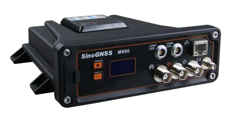
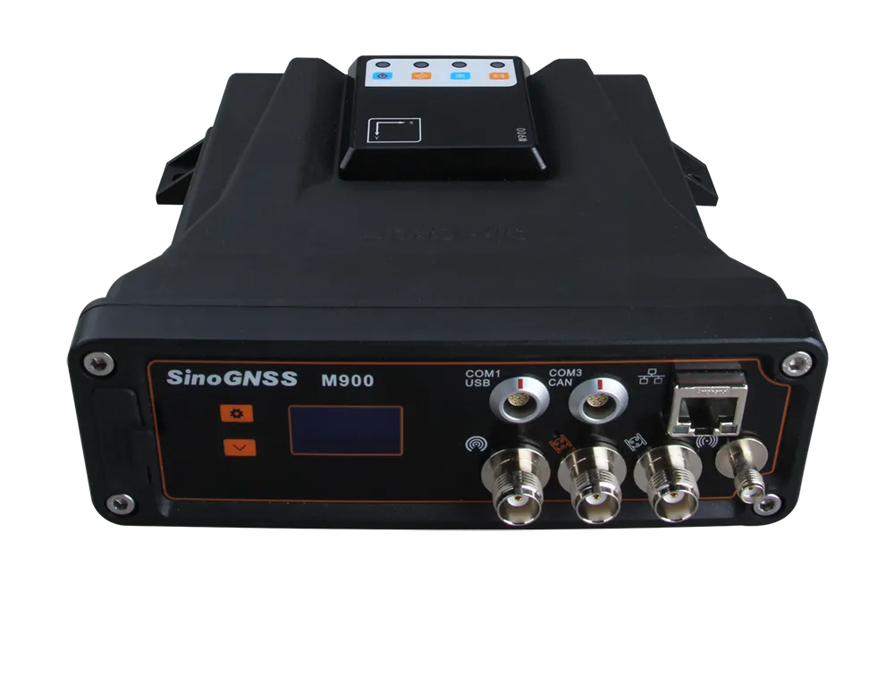
M900 is a high-performance GNSS reference receiver powered by advanced multi-constellation technology, delivering robust, centimetre-level precision and redefining reliability for demanding positioning infrastructures.
Introduction
Experience Advanced Autonomy with the M900 GNSS Receiver
The M900 combines QUANTUM™ technology, dual-antenna positioning & heading, and integrated INS+GNSS navigation — offering unmatched flexibility and reliability for unmanned systems and navigation applications.
Innovative
Explore the Technical Specifications of GNSS Receiver
Characteristics:
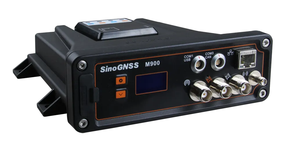
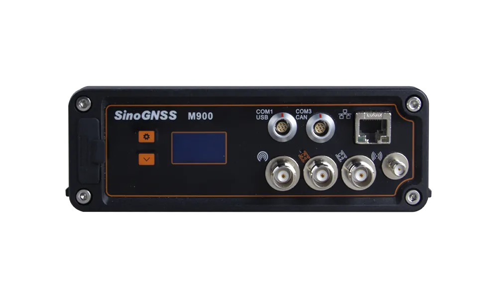
- USB, Ethernet, Serial, TCP/IP, CAN Bus, Internet
- Compact, rugged, multi-channel, multi-constellation
- Low-power and low-latency design
- IP68-certified for water and dust resistance
- Dual antenna design for positioning and heading
- Dual-purpose receiver for base station and rover
- Built-in navigation support INS+GNSS
- GPS L1/L2, BeiDou B1/B3, BeiDou Global B1C/B2b, GLONASS L1/L2, Galileo E1/E5b, QZSS, IRNSS, SBAS, L-Band
- Flexible Bluetooth/UHF/Wi-Fi/4G communications
- Advanced QUANTUM™ technology
- Large 8G memory
- Web server support via LAN and Wi-Fi
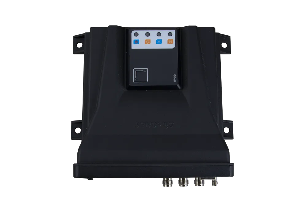
- User-friendly OLED display and LED status indicators
Multi-Constellation Tracking
The M900 has 1226 channels capable of tracking all current and planned satellite constellations, including GPS, GLONASS, BeiDou, BeiDou Global, Galileo, QZSS, IRNSS, SBAS, and L-Band.
Navigation INS+GNSS
Equipped with a built-in high-precision IMU module, the M900 delivers continuous, high-quality positioning data through an inertial navigation fusion algorithm, ensuring reliability and precision in all field conditions.
Flexible Transmission
The M900 is designed with multiple transmission options, including 4G, UHF, Wi-Fi, and Bluetooth®, allowing flexible data communication using standard formats and protocols.
This makes it ideal for a wide range of tracking, automation, and sensor-based applications.
1226
GPS: L1C/A, L1C, L2P, L2C, L5
BDS: B1l, B2l, B3l, B1C, B2a, B2b
GLONASS: G1, G2, G3
Galileo: E1, E5a, E5b, E6c, E5 AItBOC
QZSS: L1C/A, L2C, L5, L1C
IRNSS: L5
SBAS: L1C/A
<50 s
<45 s
<15 s
<1.5 s
<10s
0.03m/s
20 ns
2.5 mm + 1 ppm Horizontal
5 mm + 1 ppm Vertical
8 mm + 1 ppm Horizontal
15 mm + 1 ppm Vertical
8 mm + 1 ppm Horizontal
15 mm + 1 ppm Vertical
<0.4m
1m 3D RMS
1.5m 3D RMS
10cm Horizontal
20cm Vertical
(0.2/R⁵)°
(0.4/R)°
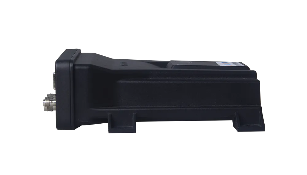
185mm x 171mm x 56mm (With connectors)
About 1kg
-40 °C to +75 °C
-55°C to +85 °C
95% no condensation
IP68
Designed to survive a 1m drop onto concrete
5V~27V
3W
BT4.0, Compatible with Android and Windows mobile OS
Support Ntrip protocol
410MHz - 470MHz
802.11 a/b/g/n/ac
1 UHF connector
2 external GNSS antenna connectors
Standard RS232, CAN, USB2.0 protocol
1 CAN BUS/COM3/power
1 USB/COM1/power
4G antenna connector
Ethernet interface
Status monitoring
Indicating power, satellite tracking, differential data and GPRS status
RTCM 2.X, 3.X, CMR/CMR+(GPS only)
NMEA 0183 GSV, RMC, HDT, GGA, GSA, ZDA, VTG, GST; PTNL,PJK; PTNL, AVR; PTNL, GGK
ComNav Binary
BINEX Data: 0x00, 0x01-01, 0x01-02, 0x01-05, ;0x7d-00, 0x7e-00, 0x7f-05
Position data output rate up to 20hz
Explore
